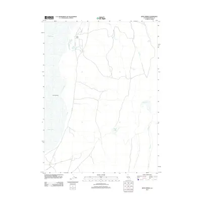
2012 Map of Boyd Spring
USGS Topo · Published 2012About this map
Surprise Valley defines this section of Modoc County, where the transition between arid rangeland and ephemeral water systems is documented in detail. The settlement of Boyd Spring Ranch sits near its namesake Boyd Spring, representing the long-standing ranching presence in this corner of California. The geography is shaped by intermittent drainages and seasonal water bodies, including Upper Lake and Mud Lake, which are critical landmarks for local land use and resource management. A network of county roads, such as Co RD 15a and Co RD 7, provides access across the flats and toward the various impoundments like Hawk Reservoir and Level Reservoir. This survey provides a baseline of the early 21st-century water infrastructure, tracing the small creeks like First Cr and Second Cr that feed into the valley floor.
Find a feature on this map
15 named features on this map. Tap any name to fly to it.
Don’t see what you’re looking for? This feature index may not catch every label — zoom into the map to look around manually.
Map Details
Editions of this 2012 Boyd Spring Map
This is the sole edition of this map. No revisions or reprints were ever made.
Other maps of this area

1886 · Alturas
USGS Topo · 1:250,000

1889 · Long Valley
USGS Topo · 1:250,000

1892 · Alturas
USGS Topo · 1:250,000

1954 · Vya
USGS Topo · 1:250,000

1954 · Alturas
USGS Topo · 1:250,000

1958 · Alturas
USGS Topo · 1:250,000

1958 · Vya
USGS Topo · 1:250,000

1962 · Alturas
USGS Topo · 1:250,000

1962 · Vya
USGS Topo · 1:250,000

1962 · Cedarville
USGS Topo · 1:62,500