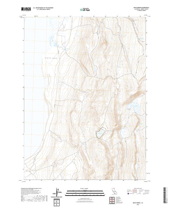
2021 Map of Boyd Spring
USGS Topo · Published 2021About this map
Boyd Spring sits at the edge of the high desert terrain within the northeastern reach of Surprise Valley in Modoc County. This region is defined by a sparse but essential network of water resources, where natural drainages like First Cr, Second Cr, and Sand Cr feed into seasonal catchments. The topographic data reveals a landscape managed for water storage, featuring Hatch Reservoir, Level Reservoir, and Boggs Reservoir. To the northeast, Lieberman Canyon cuts through the rising elevation, while Mud Lake occupies a central depression. The infrastructure is minimal, centered on rural routes such as Co RD 15 and Co RD 15a, reflecting a remote area primarily shaped by the needs of range management and high-plateau hydrology.
Find a feature on this map
18 named features on this map. Tap any name to fly to it.
Don’t see what you’re looking for? This feature index may not catch every label — zoom into the map to look around manually.
Map Details
Editions of this 2021 Boyd Spring Map
This is the sole edition of this map. No revisions or reprints were ever made.
Other maps of this area

1886 · Alturas
USGS Topo · 1:250,000

1889 · Long Valley
USGS Topo · 1:250,000

1892 · Alturas
USGS Topo · 1:250,000

1954 · Vya
USGS Topo · 1:250,000

1954 · Alturas
USGS Topo · 1:250,000

1958 · Alturas
USGS Topo · 1:250,000

1958 · Vya
USGS Topo · 1:250,000

1962 · Alturas
USGS Topo · 1:250,000

1962 · Vya
USGS Topo · 1:250,000

1962 · Cedarville
USGS Topo · 1:62,500