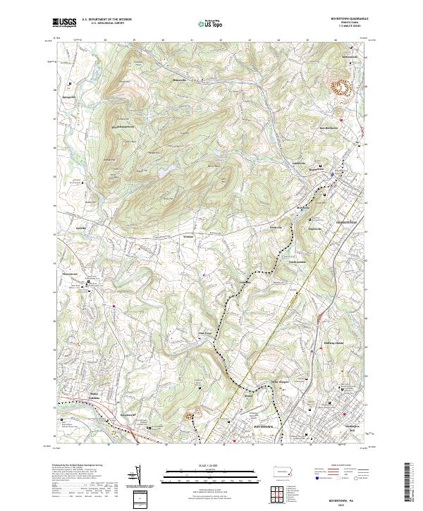
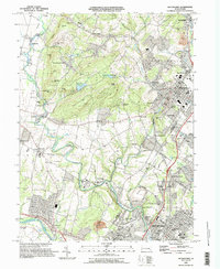
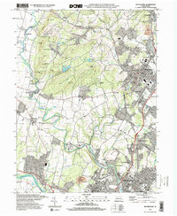
2023 Map of Boyertown
USGS Topo · Published 2023About this map
Pottstown and Boyertown anchor this 2023 survey of the Pennsylvania borderlands between Berks and Montgomery counties. The landscape is defined by the winding course of Manatawny Creek and the southern flow of the Schuylkill River, while the rolling upland is dotted with numerous small settlements like Bechtelsville, Shanesville, and Gilbertsville. Genealogy researchers will find significant detail in the dense concentration of burial sites, including the Hill Family Burial Ground, Levengood Burial Ground, and the Saint Pauls Church Upper Cem near Weaverton. The area maintains a mix of aviation infrastructure at the Pottstown Municipal Airport and conserved water resources such as the Boyertown Reservoir and Trout Run Reservoir, tucked between ridges like Shenkel Hill and Fancy Hill.
Find a feature on this map
318 named features on this map. Tap any name to fly to it.
Don’t see what you’re looking for? This feature index may not catch every label — zoom into the map to look around manually.
Map Details
Editions of this 2023 Boyertown Map
This is the sole edition of this map. No revisions or reprints were ever made.
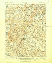
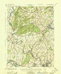
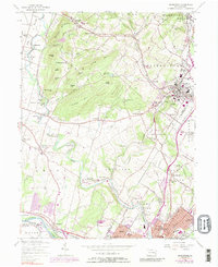
Historical Maps of Spangsville Through Time
6 maps found
Featured Locations
- West Pottsgrove, PA
- Pottstown, PA
- Boyertown, PA
- Amity Gardens, Amity Township
- Colebrookdale, Douglass Township