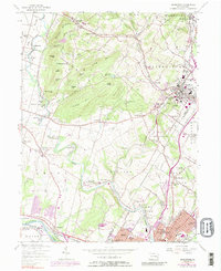
1957 Map of Boyertown
USGS Topo · Published 1989About this map
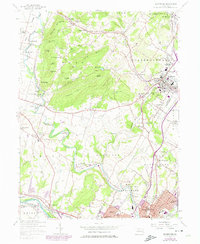
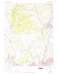
Boyertown and the surrounding Berks County landscape reveal a dense network of early Pennsylvania settlements and industrial roots along the Manatawny Creek. The terrain is defined by a series of named elevations including Shenkel Hill, Mengle Hill, and Fancy Hill, which hem in the narrow valleys where communities like Gabelsville and Greshville developed. The map captures the area during a period of transition, noting the Penn Central (Abandoned) rail line near Douglassville while highlighting active centers of education and community such as the Pine Forge Institute and Union Mission Camp. To the south, the Schuylkill River corridor shows the expanding footprint of Pottstown and Stowe, where the Pottstown Municipal Airport and numerous schools like Franklin Sch mark the mid-century suburban growth spreading from the river's edge.
Find a feature on this map
94 named features on this map. Tap any name to fly to it.
Don’t see what you’re looking for? This feature index may not catch every label — zoom into the map to look around manually.
Map Details
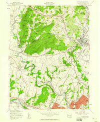
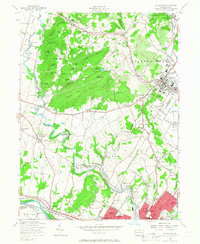
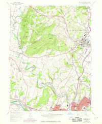
Editions of this 1957 Boyertown Map
6 editions found
Other maps of this area

1894 · Reading
USGS Topo · 1:62,500

1902 · Boyertown
USGS Topo · 1:62,500

1905 · Honey Brook
USGS Topo · 1:62,500

1906 · Phoenixville
USGS Topo · 1:62,500

1907 · Honeybrook
USGS Topo · 1:62,500

1913 · Reading
USGS Topo · 1:62,500

1915 · Reading
USGS Topo · 1:62,500

1941 · Honeybrook
USGS Topo · 1:62,500

1943 · Manatawny
USGS Topo · 1:31,680
1943 · East Greenville
USGS Topo · 1:31,680
Featured Places
- Pottstown, PA
- Colebrookdale, Douglass Township
- Boyertown, PA
- West Pottsgrove, PA
- Amity Gardens, Amity Township