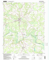
2022 Map of Boykins
USGS Topo · Published 2022About this map
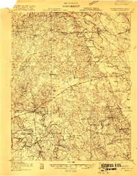
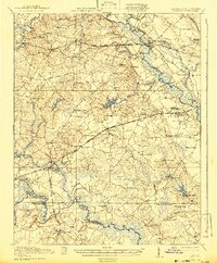
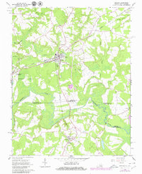
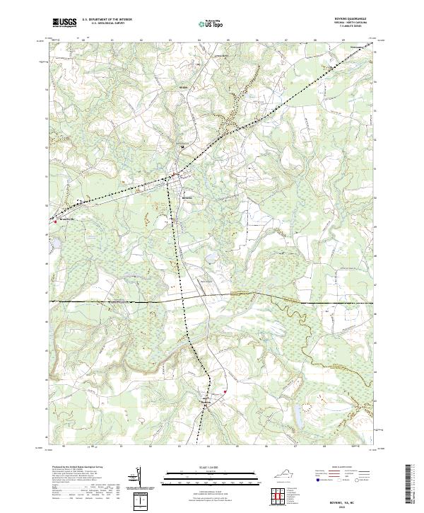
Boykins serves as a central hub for this borderland region, where the town street grid expands near the Beechwood Cem and Mann Airport. The landscape is defined by the winding course of the Meherrin River, which carves through the coastal plain and provides the natural drainage for extensive wetlands like Burnt Reed Swamp and Buckhorn Swamp. Straddling the state line between Virginia and North Carolina, the area includes small settlements such as Branchville, Newsoms, and Severn. The map detail captures the intersection of rural agriculture and transportation, with a dense network of local roads like Number 8 Schoolhouse Rd and Old Branchville Rd connecting historic community centers like Shiloh and Cross Keys across the flat, swampy terrain.
Find a feature on this map
65 named features on this map. Tap any name to fly to it.
Don’t see what you’re looking for? This feature index may not catch every label — zoom into the map to look around manually.
Map Details
Editions of this 2022 Boykins Map
This is the sole edition of this map. No revisions or reprints were ever made.
Historical Maps of Newsoms Through Time
5 maps found