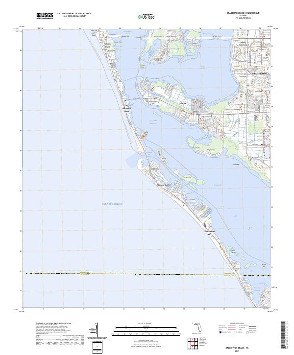
2025 Map of Bradenton Beach
USGS Topo · Published 2025About this map
Anna Maria Island and the neighboring barrier keys form a complex coastal landscape where the Gulf of America meets the shallow reaches of Sarasota Bay and Anna Maria Sound. The map documents the residential patterns of established beach communities including Holmes Beach, Bradenton Beach, and the northern stretch of Longboat Key. These areas are characterized by a dense network of local streets and canals, particularly evident around Ilexhurst and the fishing village of Cortez, which sits just inland of the Intracoastal Waterway. This survey provides a contemporary view of modern recreational corridors like the Manatee County Blueway Trl and the Long Boat Key Bike Trl. Extensive wetland areas and small keys, such as the Sister Keys and Tidy Island, highlight the ecological preservation efforts alongside the developed coastal frontage.
Find a feature on this map
38 named features on this map. Tap any name to fly to it.
Don’t see what you’re looking for? This feature index may not catch every label — zoom into the map to look around manually.
Map Details
Editions of this 2025 Bradenton Beach Map
This is the sole edition of this map. No revisions or reprints were ever made.
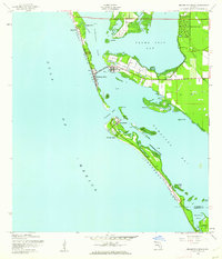
Historical Maps of Palma Sola Park Through Time
3 maps found

Featured Locations
- Longboat Key, FL
- Longbeach, Longboat Key
- Holmes Beach, FL
- Bradenton, FL
- Bradenton Beach, Brandenton Beach