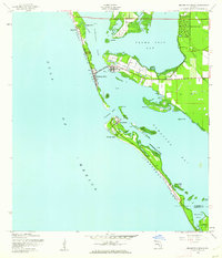
1944 Map of Bradenton Beach
USGS Topo · Published 1961About this map
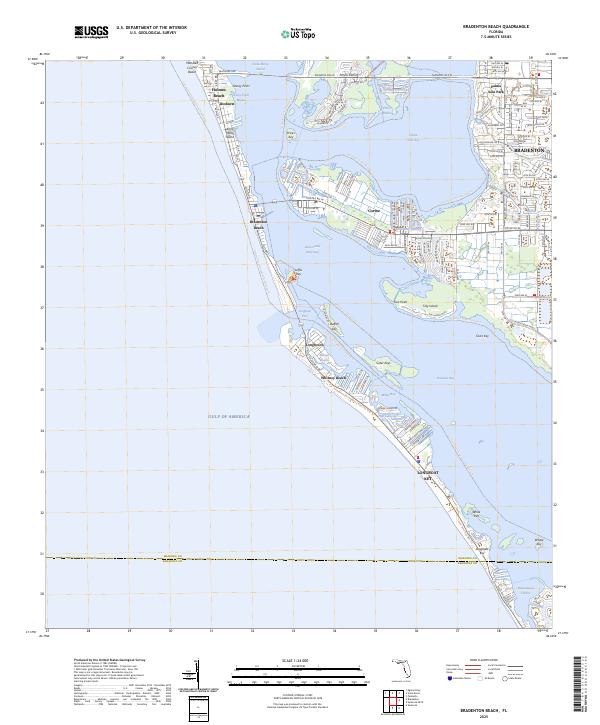
Anna Maria Key and Long Boat Key form the seaward edge of this coastal landscape, protecting the waters of Sarasota Pass and Palma Sola Bay. At the height of the Second World War, the barrier islands supported small fishing and resort communities like Cortez and Bradenton Beach, connected by the Cortez Bridge. The southern end of the sheet is dominated by a substantial Military Reservation and a Landing Field on Long Boat Key, reflecting the strategic importance of the Florida coastline during the era. The interior coastal waters are dotted with numerous islands, including Tidy Island and the Sister Keys, while the mainland portion shows the early layout of Palma Sola Park and the mangrove-lined shores of Perico Bayou. This topography reveals the area just before the post-war development boom altered the Gulf islands.
Find a feature on this map
33 named features on this map. Tap any name to fly to it.
Don’t see what you’re looking for? This feature index may not catch every label — zoom into the map to look around manually.
Map Details
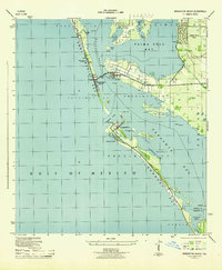
Editions of this 1944 Bradenton Beach Map
2 editions found
Historical Maps of Bradenton Through Time
8 maps found
1944 Bradenton Beach
Manatee County, FL

1964 Bradenton Beach
Manatee County, FL
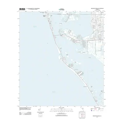
2012 Bradenton Beach
Manatee County, FL
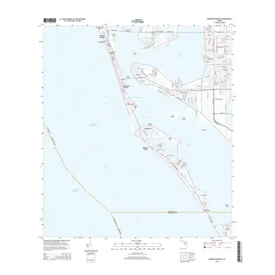
2015 Bradenton Beach
Manatee County, FL
2018 Bradenton Beach
Manatee County, FL
2021 Bradenton Beach
Manatee County, FL
2024 Bradenton Beach
Manatee County, FL
2025 Bradenton Beach
Manatee County, FL
Featured Locations
- Longboat Key, FL
- Longbeach, Longboat Key
- Holmes Beach, FL
- Bradenton, FL
- Bradenton Beach, Brandenton Beach