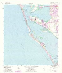
1964 Map of Bradenton Beach
USGS Topo · Published 1987About this map
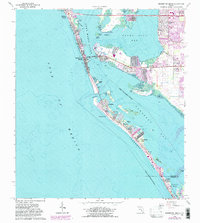
Anna Maria Island and the neighboring keys define this mid-1960s coastal survey, illustrating the evolving shoreline of Manatee County before extensive modern developments. The residential grids of Holmes Beach and Bradenton Beach are established along the Gulf, while the historic fishing village of Cortez connects to the barrier islands via the Cortez Bridge. Purple revision markings from the 1980s highlight significant growth across Longboat Key, showing the expansion of settlements like Whitney Beach and Longbeach. The map documents a landscape of intricate waterways, from Sarasota Bay to Buttonwood Harbor, dotted with small landmarks such as the Island Chapel and the State Agriculture Experiment Station. These details capture the transition of a quiet coastal region into a primary Florida destination, noting shoreline features such as seawalls that reflect early efforts to manage the shifting sands of the Gulf Coast.
Find a feature on this map
38 named features on this map. Tap any name to fly to it.
Don’t see what you’re looking for? This feature index may not catch every label — zoom into the map to look around manually.
Map Details
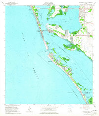
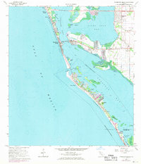
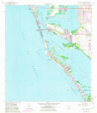
Editions of this 1964 Bradenton Beach Map
5 editions found
Other maps of this area

1921 · Fort De Soto
USGS Topo · 1:62,500

1944 · Egmont Key
USGS Topo · 1:31,680

1944 · Sarasota
USGS Topo · 1:31,680

1944 · Anna Maria
USGS Topo · 1:31,680

1944 · Ellenton
USGS Topo · 1:31,680

1944 · Bradenton Beach
USGS Topo · 1:31,680

1947 · Bradenton
USGS Topo · 1:24,000

1956 · Tampa
USGS Topo · 1:250,000

1959 · Tampa
USGS Topo · 1:250,000

1960 · Tampa
USGS Topo · 1:250,000
Featured Places
- Bradenton, FL
- Longboat Key, FL
- Holmes Beach, FL
- Bradenton Beach, Brandenton Beach
- Longbeach, Longboat Key