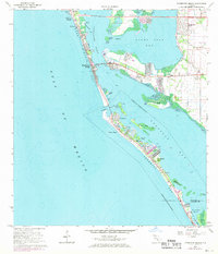
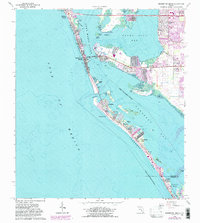
1964 Map of Bradenton Beach
USGS Topo · Published 1970About this map
Anna Maria Key and the northern stretch of Long Boat Key define this coastal landscape during a period of significant mid-century shoreline development. The map details the interconnected barrier island communities from Holmes Beach and Ilexhurst down to the residential finger canals of Whitney Beach. While the Gulf Of Mexico borders the western sands, the protected waters of Sarasota Pass and Palma Sola Bay reveal a complex network of small keys and bayous, including Perico Island and the Sister Keys.
Find a feature on this map
42 named features on this map. Tap any name to fly to it.
Don’t see what you’re looking for? This feature index may not catch every label — zoom into the map to look around manually.
Map Details
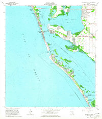
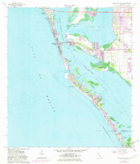
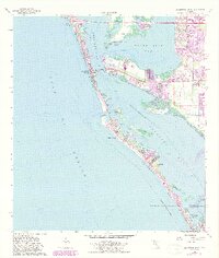
Editions of this 1964 Bradenton Beach Map
5 editions found
Other maps of this area

1921 · Fort De Soto
USGS Topo · 1:62,500

1944 · Egmont Key
USGS Topo · 1:31,680

1944 · Sarasota
USGS Topo · 1:31,680

1944 · Anna Maria
USGS Topo · 1:31,680

1944 · Ellenton
USGS Topo · 1:31,680

1944 · Bradenton Beach
USGS Topo · 1:31,680

1947 · Bradenton
USGS Topo · 1:24,000

1956 · Tampa
USGS Topo · 1:250,000

1959 · Tampa
USGS Topo · 1:250,000

1960 · Tampa
USGS Topo · 1:250,000
Featured Places
- Bradenton, FL
- Longboat Key, FL
- Holmes Beach, FL
- Bradenton Beach, Brandenton Beach
- Longbeach, Longboat Key