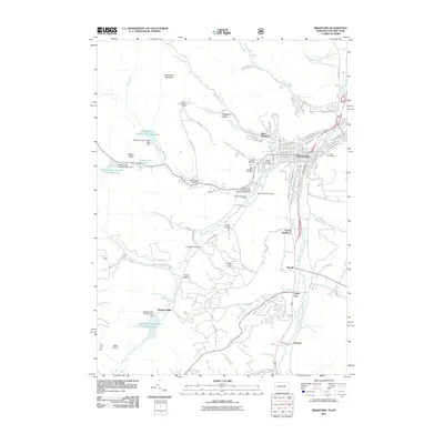
2011 Map of Bradford
USGS Topo · Published 2011About this map
Bradford and its surrounding valleys serve as the focal point of this Pennsylvania-New York border study, where the West Branch Tununguant Creek and East Branch Tununguant Creek converge. The landscape is defined by its industrial history, prominently featuring the Bradford Oil Field and a series of critical water resources such as Bradford City Number Two Reservoir and Bradford City Number Five Reservoir. These reservoirs, secured by dams like the Bradford City Number Two Dam, reflect the infrastructure required to support the city's growth and operations.
Find a feature on this map
99 named features on this map. Tap any name to fly to it.
Don’t see what you’re looking for? This feature index may not catch every label — zoom into the map to look around manually.
Map Details
Editions of this 2011 Bradford Map
This is the sole edition of this map. No revisions or reprints were ever made.
Other maps of this area

1900 · Salamanca
USGS Topo · 1:62,500

1922 · Randolph
USGS Topo · 1:62,500

1923 · Randolph
USGS Topo · 1:62,500

1924 · Bradford
USGS Topo · 1:62,500

1926 · Bradford
USGS Topo · 1:62,500

1936 · Kinzua
USGS Topo · 1:48,000

1938 · Salamanca
USGS Topo · 1:62,500

1941 · Kinzua
USGS Topo · 1:62,500

1941 · Bradford
USGS Topo · 1:62,500

1943 · Randolph
USGS Topo · 1:62,500