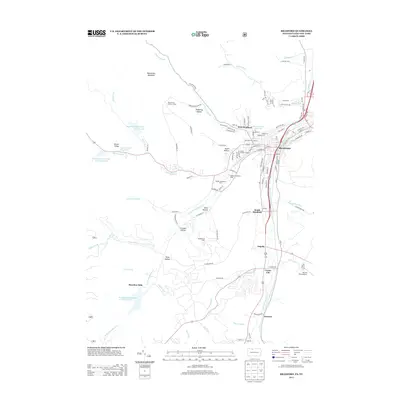
2013 Map of Bradford
USGS Topo · Published 2013About this map
The industrial and collegiate character of Bradford and its surrounding valleys is clearly defined in this early 21st-century survey. The landscape is shaped by the Bradford Oil Field, situated near Niles Hollow, reflecting the region's long association with petroleum extraction. To the south, settlements like Degolia and Custer City line the corridor along the E Br Tunungwant Cr, while the western hills are marked by a series of municipal water works, including Bradford City Number Two Reservoir and Number One Reservoir. The presence of the McKean Residence Halls and Kendall Residence Halls highlights the educational infrastructure near Gates Hollow. On higher ground, Blacksnake Mountain and the Beacon Hill Lookout Tower overlook a network of creek-cut valleys such as Brown Valley and Tome Hollow, where small settlements like Hazelton Mills once thrived along the waterways.
Find a feature on this map
122 named features on this map. Tap any name to fly to it.
Don’t see what you’re looking for? This feature index may not catch every label — zoom into the map to look around manually.
Map Details
Editions of this 2013 Bradford Map
This is the sole edition of this map. No revisions or reprints were ever made.
Other maps of this area

1900 · Salamanca
USGS Topo · 1:62,500

1922 · Randolph
USGS Topo · 1:62,500

1923 · Randolph
USGS Topo · 1:62,500

1924 · Bradford
USGS Topo · 1:62,500

1926 · Bradford
USGS Topo · 1:62,500

1936 · Kinzua
USGS Topo · 1:48,000

1938 · Salamanca
USGS Topo · 1:62,500

1941 · Kinzua
USGS Topo · 1:62,500

1941 · Bradford
USGS Topo · 1:62,500

1943 · Randolph
USGS Topo · 1:62,500