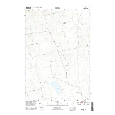
2014 Map of Bradford
USGS Topo · Published 2014About this map
Bradford and its neighboring hamlets serve as the focal point for this Penobscot County landscape, illustrating a classic Maine rural settlement pattern where development closely follows the course of Main Rd and Mohawk Stream. Small community clusters at North Bradford, Bradford Center, and Huntington Mill are defined by their proximity to various branches of the Dead Stream and the expansive Little Pushaw Pond in the south.
Find a feature on this map
63 named features on this map. Tap any name to fly to it.
Don’t see what you’re looking for? This feature index may not catch every label — zoom into the map to look around manually.
Map Details
Editions of this 2014 Bradford Map
This is the sole edition of this map. No revisions or reprints were ever made.
Other maps of this area

1902 · Bangor
USGS Topo · 1:62,500

1931 · Stetson
USGS Topo · 1:48,000

1932 · Dover-Foxcroft
USGS Topo · 1:48,000

1933 · Boyd Lake
USGS Topo · 1:62,500

1935 · Dover-Foxcroft
USGS Topo · 1:62,500

1935 · Stetson
USGS Topo · 1:62,500

1942 · Bangor
USGS Topo · 1:62,500

1946 · Bangor
USGS Topo · 1:62,500

1948 · Bangor
USGS Topo · 1:250,000

1951 · Boyd Lake
USGS Topo · 1:50,000