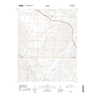
2018 Map of Bradley
USGS Topo · Published 2018About this map
The Salinas River corridor defines this portion of the Central Coast, where the settlement of Bradley serves as a focal point near the confluence of the San Antonio River and the Nacimiento River. This landscape is deeply etched by numerous drainages, including Buttle Canyon, Portuguese Canyon, and Hare Canyon, which descend toward the primary river valleys. To the northwest, the agricultural and pastoral character of Hames Valley is visible, bordered by the seasonal flow of Hames Cr.
Find a feature on this map
51 named features on this map. Tap any name to fly to it.
Don’t see what you’re looking for? This feature index may not catch every label — zoom into the map to look around manually.
Map Details
Editions of this 2018 Bradley Map
This is the sole edition of this map. No revisions or reprints were ever made.
Other maps of this area

1919 · San Miguel
USGS Topo · 1:62,500

1919 · Paso Robles
USGS Topo · 1:62,500

1919 · Bradley
USGS Topo · 1:62,500

1919 · Adelaida
USGS Topo · 1:62,500

1932 · Adelaida
USGS Topo · 1:62,500

1941 · Bradley
USGS Topo · 1:62,500

1942 · Adelaida
USGS Topo · 1:62,500

1943 · Paso Robles
USGS Topo · 1:62,500

1947 · San Luis Obispo
USGS Topo · 1:250,000

1947 · San Miguel
USGS Topo · 1:62,500