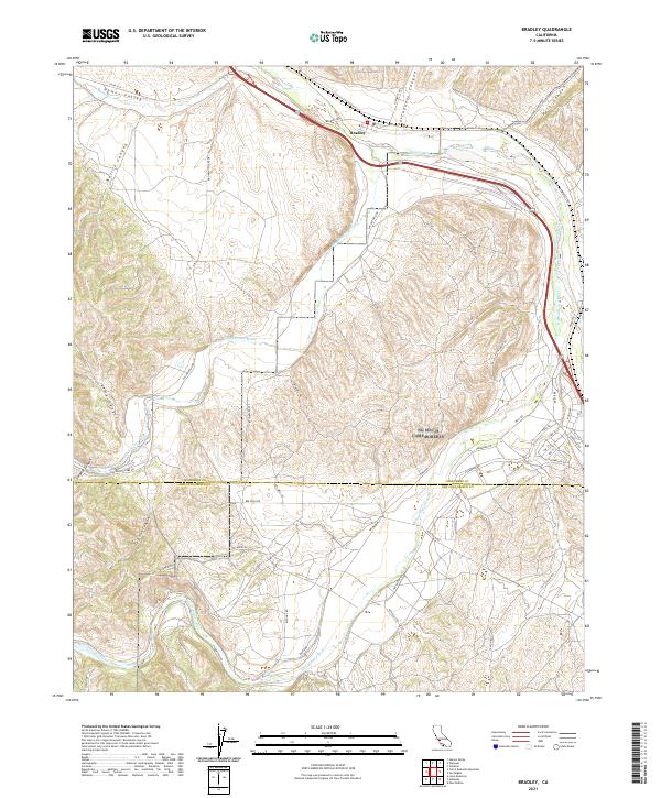
2021 Map of Bradley
USGS Topo · Published 2021About this map
The Salinas River corridor defines the landscape around Bradley, where the waters of the San Antonio River and Nacimiento River converge. This confluence has long shaped the topography of the region, creating a network of deep canyons such as Portuguese Canyon, Buttle Canyon, and Sulphur Canyon that cut through the surrounding hills. The map captures the meeting of the Monterey Co and San Luis Obispo Co lines, a border established across complex terrain.
Find a feature on this map
50 named features on this map. Tap any name to fly to it.
Don’t see what you’re looking for? This feature index may not catch every label — zoom into the map to look around manually.
Map Details
Editions of this 2021 Bradley Map
This is the sole edition of this map. No revisions or reprints were ever made.
Other maps of this area

1919 · San Miguel
USGS Topo · 1:62,500

1919 · Paso Robles
USGS Topo · 1:62,500

1919 · Bradley
USGS Topo · 1:62,500

1919 · Adelaida
USGS Topo · 1:62,500

1932 · Adelaida
USGS Topo · 1:62,500

1941 · Bradley
USGS Topo · 1:62,500

1942 · Adelaida
USGS Topo · 1:62,500

1943 · Paso Robles
USGS Topo · 1:62,500

1947 · San Luis Obispo
USGS Topo · 1:250,000

1947 · San Miguel
USGS Topo · 1:62,500