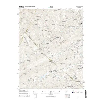
2014 Map of Bramwell
USGS Topo · Published 2014About this map
Pocahontas and the winding valley of the Bluestone River define this coal-country borderland where Mercer County, West Virginia meets Tazewell County, Virginia. This landscape is a dense network of mountain hollows and mining heritage, anchored by the Exhibition Mine and the rail infrastructure of the Norfolk and Western Ry. The topography is marked by significant landmarks like Pinnacle Rock and Pinnacle Rock State Park, which stand over a collection of established company towns and hamlets including Bramwell, Coopers, Simmons, and Maybeury.
Find a feature on this map
246 named features on this map. Tap any name to fly to it.
Don’t see what you’re looking for? This feature index may not catch every label — zoom into the map to look around manually.
Map Details
Editions of this 2014 Bramwell Map
This is the sole edition of this map. No revisions or reprints were ever made.
Other maps of this area

1887 · Pocahontas
USGS Topo · 1:125,000

1891 · Pocahontas
USGS Topo · 1:125,000

1894 · Pocahontas
USGS Topo · 1:125,000

1895 · Pocahontas
USGS Topo · 1:125,000

1909 · Pocahontas Special
USGS Topo · 1:48,000

1911 · Pocahontas Special
USGS Topo · 1:62,500

1913 · Bluefield
USGS Topo · 1:48,000

1916 · Bluefield
USGS Topo · 1:62,500

1924 · Bramwell
USGS Topo · 1:62,500

1924 · Bluefield
USGS Topo · 1:62,500