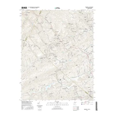
2016 Map of Bramwell
USGS Topo · Published 2016About this map
The Norfolk and Western railway corridor defines the industrial and social development of this border region between West Virginia and Virginia. In the north, the historic coal-producing settlements of Bramwell, Coaldale, and Maybeury follow the tight valley topography along the Coal Heritage Rd. The landscape is notably dense with family and community burial grounds, such as Mt Tabor Cem and Hollinsworth Cem, reflecting generations of settlement in the hollows and along the ridges like Coaldale Mtn.
Find a feature on this map
173 named features on this map. Tap any name to fly to it.
Don’t see what you’re looking for? This feature index may not catch every label — zoom into the map to look around manually.
Map Details
Editions of this 2016 Bramwell Map
This is the sole edition of this map. No revisions or reprints were ever made.
Other maps of this area

1887 · Pocahontas
USGS Topo · 1:125,000

1891 · Pocahontas
USGS Topo · 1:125,000

1894 · Pocahontas
USGS Topo · 1:125,000

1895 · Pocahontas
USGS Topo · 1:125,000

1909 · Pocahontas Special
USGS Topo · 1:48,000

1911 · Pocahontas Special
USGS Topo · 1:62,500

1913 · Bluefield
USGS Topo · 1:48,000

1916 · Bluefield
USGS Topo · 1:62,500

1924 · Bramwell
USGS Topo · 1:62,500

1924 · Bluefield
USGS Topo · 1:62,500