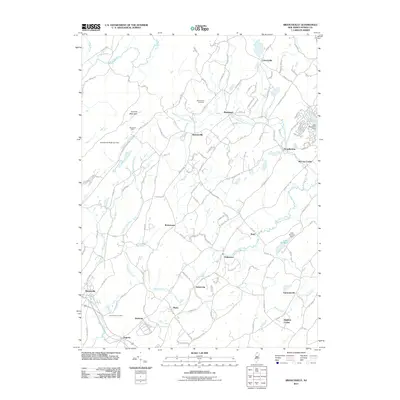
2011 Map of Branchville
USGS Topo · Published 2011About this map
Sunrise Mountain and the headwaters of the Papakating Creek dominate this 2011 survey of Sussex County. The landscape is a mix of agricultural heritage and modern residential development, anchored by the borough of Branchville and the crossroads at Augusta. To the north, the agricultural roots of the area remain visible at Mosefund Farm and Beemerville Orchards, while the West Branch Papakating Creek winds through small rural hamlets like Beemerville and Plumbsock.
Find a feature on this map
139 named features on this map. Tap any name to fly to it.
Don’t see what you’re looking for? This feature index may not catch every label — zoom into the map to look around manually.
Map Details
Editions of this 2011 Branchville Map
This is the sole edition of this map. No revisions or reprints were ever made.
Other maps of this area

1888 · Franklin
USGS Topo · 1:62,500

1891 · Wallpack
USGS Topo · 1:62,500

1893 · Wallpack
USGS Topo · 1:62,500

1894 · Franklin
USGS Topo · 1:62,500

1897 · Franklin
USGS Topo · 1:62,500

1903 · Franklin Furnace
USGS Topo · 1:62,500

1906 · Port Jervis
USGS Topo · 1:62,500

1908 · Port Jervis
USGS Topo · 1:62,500

1913 · Milford
USGS Topo · 1:62,500

1915 · Milford
USGS Topo · 1:62,500