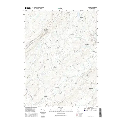
2016 Map of Branchville
USGS Topo · Published 2016About this map
Kittatinny Mtn dominates the western skyline of this Sussex County landscape, where the Appalachian National Scenic Trail traverses the high ridges past Sunrise Mtn. Below the mountains, the terrain transitions into a patchwork of small hamlets and drainage basins including the valley of the Papakating Creek and its various branches. Historically significant settlements such as Beemerville, Libertyville, and Branchville anchor the local road network, showing a settlement pattern that persists around the turn of the twenty-first century. The presence of the Branchville Cem and numerous named brooks like Dry Brook and Barker Brook provide specific points of interest for genealogists and local historians tracking the development of these northern New Jersey communities. To the southeast, the Sussex Airport near McCoys Corner reflects the modern infrastructure integrated into this traditionally agricultural and forested region.
Find a feature on this map
134 named features on this map. Tap any name to fly to it.
Don’t see what you’re looking for? This feature index may not catch every label — zoom into the map to look around manually.
Map Details
Editions of this 2016 Branchville Map
This is the sole edition of this map. No revisions or reprints were ever made.
Other maps of this area

1888 · Franklin
USGS Topo · 1:62,500

1891 · Wallpack
USGS Topo · 1:62,500

1893 · Wallpack
USGS Topo · 1:62,500

1894 · Franklin
USGS Topo · 1:62,500

1897 · Franklin
USGS Topo · 1:62,500

1903 · Franklin Furnace
USGS Topo · 1:62,500

1906 · Port Jervis
USGS Topo · 1:62,500

1908 · Port Jervis
USGS Topo · 1:62,500

1913 · Milford
USGS Topo · 1:62,500

1915 · Milford
USGS Topo · 1:62,500