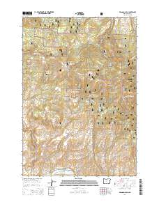
2014 Map of Brannan Gulch
USGS Topo · Published 2014About this map
Whitman National Forest land dominates this Baker County landscape, where the southern boundary of the forest meets the valley of the Burnt River. The area is characterized by a dense network of gulches and mountain peaks, including Black Mtn and Little Bald Mtn, which define the local drainage patterns into creeks like Pine Cr and Indian Cr. Settlement is sparse, with human activity centered primarily on the infrastructure of forestry and water management. Evidence of historic resource extraction and irrigation is visible through features like Reeds Ditch, which skirts the base of the mountains. The southern edge of the map follows the corridor of the Dooley Mountain Hwy, providing a vital transit link through Brannan Gulch and past the junction at Browns Gulch. Rural roads like China Camp Rd and Railway Rd hint at the area's logistical history serving early mining or timber interests.
Find a feature on this map
46 named features on this map. Tap any name to fly to it.
Don’t see what you’re looking for? This feature index may not catch every label — zoom into the map to look around manually.
Map Details
Editions of this 2014 Brannan Gulch Map
This is the sole edition of this map. No revisions or reprints were ever made.
Other maps of this area

1901 · Baker City
USGS Topo · 1:125,000

1901 · Sumpter
USGS Topo · 1:125,000

1908 · Ironside Mountain
USGS Topo · 1:125,000

1955 · Baker
USGS Topo · 1:250,000

1955 · Canyon City
USGS Topo · 1:250,000

1959 · Baker
USGS Topo · 1:250,000

1959 · Canyon City
USGS Topo · 1:250,000

1964 · Ironside
USGS Topo · 1:62,500

1967 · Dooley Mtn
USGS Topo · 1:24,000

1967 · Blue Canyon
USGS Topo · 1:24,000