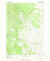
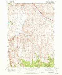
1967 Map of Blue Canyon
USGS Topo · Published 1972About this map
Auburn (Site) serves as a focal point for this late-1960s survey of the Baker region, marking the location of a former mining boomtown within the Whitman National Forest. The landscape is heavily influenced by early industrial water management and mining, evidenced by the Municipal Aqueduct and numerous tailings piles. Notable water infrastructure includes the Old Auburn Res, Vaughn Res, and Haskell Reservoir, which supported local needs alongside the Powder River.
Find a feature on this map
47 named features on this map. Tap any name to fly to it.
Don’t see what you’re looking for? This feature index may not catch every label — zoom into the map to look around manually.
Map Details
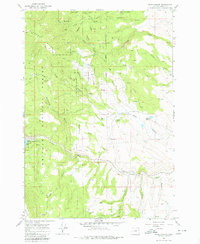
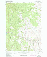
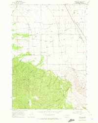
Editions of this 1967 Blue Canyon Map
3 editions found
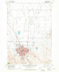
Other maps of this area

1901 · Baker City
USGS Topo · 1:125,000

1901 · Sumpter
USGS Topo · 1:125,000

1955 · Baker
USGS Topo · 1:250,000

1955 · Canyon City
USGS Topo · 1:250,000

1959 · Baker
USGS Topo · 1:250,000

1959 · Canyon City
USGS Topo · 1:250,000
1967 · Baker
USGS Topo · 1:24,000

1967 · Dooley Mtn
USGS Topo · 1:24,000
1967 · Bowen Valley
USGS Topo · 1:24,000
1967 · Wingville
USGS Topo · 1:24,000