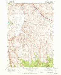
1967 Map of Bowen Valley
USGS Topo · Published 1972About this map
Bowen Valley is defined by the winding course of the Powder River, where the valley floor transitions into the timbered slopes of the Whitman National Forest. In the late 1960s, this area of Baker County centered on the settlement of Salisbury and its surrounding agricultural and ranching landscape. Evidence of early rural infrastructure remains visible through features like the Stewart Sch and the Licklider Reservoir, while the presence of the Union Pacific railroad and a Gaging Station on the river reflect the importance of transport and water management in this high-desert environment. The eastern portion of the map is deeply dissected by a network of drainage systems including Sutton Creek and Beaver Creek, with numerous named springs such as Waldo Spring serving as vital water sources for the cattle and wildlife roaming the varied gulches and canyons.
Find a feature on this map
31 named features on this map. Tap any name to fly to it.
Don’t see what you’re looking for? This feature index may not catch every label — zoom into the map to look around manually.
Map Details
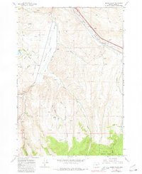
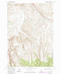
Editions of this 1967 Bowen Valley Map
3 editions found
Other maps of this area

1901 · Baker City
USGS Topo · 1:125,000

1955 · Baker
USGS Topo · 1:250,000

1959 · Baker
USGS Topo · 1:250,000

1967 · Virtue Flat
USGS Topo · 1:24,000

1967 · Encina
USGS Topo · 1:24,000

1967 · Baker
USGS Topo · 1:24,000

1967 · French Gulch
USGS Topo · 1:24,000

1967 · Dooley Mtn
USGS Topo · 1:24,000

1967 · Blue Canyon
USGS Topo · 1:24,000
1967 · Wingville
USGS Topo · 1:24,000