
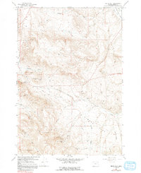
1967 Map of Virtue Flat
USGS Topo · Published 1971About this map
Oregon Trail wheel ruts and historic paths trace through this landscape east of Baker, Oregon, where the 1960s terrain remains defined by its gold mining legacy. The high ground of Flagstaff Hill and the expanse of Virtue Flat are dotted with numerous workings, including the Flagstaff Mine, Columbia Mine, and the Virtue Mine. These sites represent the intensive mineral exploration that shaped the region's development following the arrival of pioneers, a history marked by the Oregon Trail Historical Monument near the western edge of the sheet. The drainage patterns of North Fork Ruckles Creek and Crews Creek further illustrate the difficult geography encountered by early travelers and prospectors alike. Local infrastructure at this time consists of a network of unimproved dirt roads and jeep trails connecting various pits and mine shafts, such as the Hidden Treasure Mine and St Paul Mine, to the more established Road corridors.
Find a feature on this map
30 named features on this map. Tap any name to fly to it.
Don’t see what you’re looking for? This feature index may not catch every label — zoom into the map to look around manually.
Map Details
Editions of this 1967 Virtue Flat Map
2 editions found
Other maps of this area

1901 · Baker City
USGS Topo · 1:125,000

1955 · Baker
USGS Topo · 1:250,000

1959 · Baker
USGS Topo · 1:250,000
1967 · Sawtooth Ridge
USGS Topo · 1:24,000

1967 · Encina
USGS Topo · 1:24,000

1967 · Baker
USGS Topo · 1:24,000
1967 · Keating
USGS Topo · 1:24,000
1967 · Keating NW
USGS Topo · 1:24,000
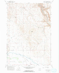
1967 · Magpie Peak
USGS Topo · 1:24,000
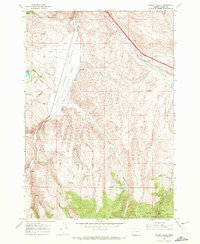
1967 · Bowen Valley
USGS Topo · 1:24,000