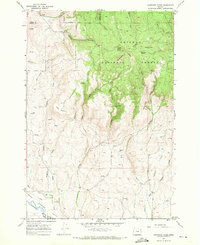
1967 Map of Sawtooth Ridge
USGS Topo · Published 1971About this map
The Powder River Valley defines the southern edge of this landscape, where the Powder River winds through agricultural land marked by a network of drainage structures like the Ditch. Moving north, the terrain rises sharply into the high elevations of the Whitman National Forest, a region characterized by significant geological formations including Table Mountain and the distinct Sawtooth Crater.
Find a feature on this map
32 named features on this map. Tap any name to fly to it.
Don’t see what you’re looking for? This feature index may not catch every label — zoom into the map to look around manually.
Map Details
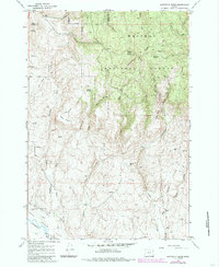
Editions of this 1967 Sawtooth Ridge Map
2 editions found
Other maps of this area

1901 · Baker City
USGS Topo · 1:125,000

1906 · Telocaset
USGS Topo · 1:125,000

1915 · Pine
USGS Topo · 1:125,000

1954 · Eagle Cap
USGS Topo · 1:62,500

1955 · Baker
USGS Topo · 1:250,000

1955 · Grangeville
USGS Topo · 1:250,000

1957 · Sparta
USGS Topo · 1:62,500

1959 · Baker
USGS Topo · 1:250,000

1959 · Grangeville
USGS Topo · 1:250,000

1965 · Flagstaff Butte
USGS Topo · 1:24,000