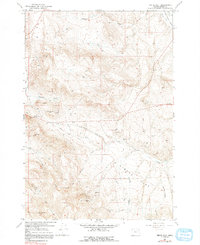
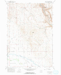
1967 Map of Virtue Flat
USGS Topo · Published 1991About this map
The Oregon Trail cuts a diagonal path through this portion of Baker County, a landscape defined by its mining history and complex water management. This mid-century survey illustrates the intense concentration of mineral claims south of Flagstaff Hill, where operations like the Flagstaff Mine, Virtue Mine, and Emma Mine once sought fortune. The proximity of the Oregon Trail Historical Monument highlights the intersection of pioneer migration routes with the industrial extraction that followed.
Find a feature on this map
29 named features on this map. Tap any name to fly to it.
Don’t see what you’re looking for? This feature index may not catch every label — zoom into the map to look around manually.
Map Details
Editions of this 1967 Virtue Flat Map
2 editions found
Other maps of this area

1901 · Baker City
USGS Topo · 1:125,000

1955 · Baker
USGS Topo · 1:250,000

1959 · Baker
USGS Topo · 1:250,000
1967 · Sawtooth Ridge
USGS Topo · 1:24,000

1967 · Virtue Flat
USGS Topo · 1:24,000

1967 · Encina
USGS Topo · 1:24,000

1967 · Baker
USGS Topo · 1:24,000
1967 · Keating
USGS Topo · 1:24,000
1967 · Keating NW
USGS Topo · 1:24,000
1967 · Magpie Peak
USGS Topo · 1:24,000