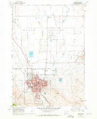
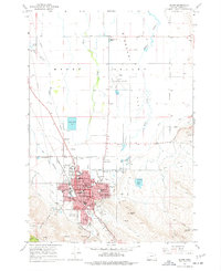
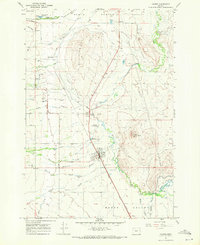
1967 Map of Baker
USGS Topo · Published 1971About this map
Baker and its surrounding agricultural valley appear in this late 1960s survey during a period of steady civic infrastructure growth. The town's grid is dense with educational and community landmarks, including Baker College, St Francis H S, and the Seventh Day Adventist Sch. The historical depth of the region is anchored by the Oregon Trail Monument located northwest of the city center near the intersection of the Union Pacific line and Estes Road.
Find a feature on this map
53 named features on this map. Tap any name to fly to it.
Don’t see what you’re looking for? This feature index may not catch every label — zoom into the map to look around manually.
Map Details
Editions of this 1967 Baker Map
2 editions found
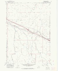
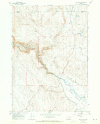
Other maps of this area

1901 · Baker City
USGS Topo · 1:125,000

1955 · Baker
USGS Topo · 1:250,000

1959 · Baker
USGS Topo · 1:250,000

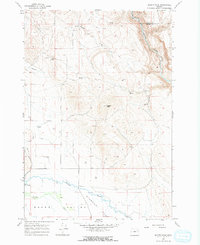
1967 · Virtue Flat
USGS Topo · 1:24,000
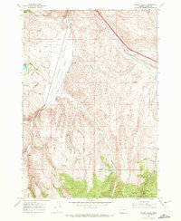
1967 · Encina
USGS Topo · 1:24,000
1967 · Keating NW
USGS Topo · 1:24,000
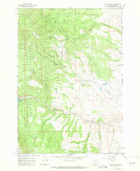
1967 · Haines
USGS Topo · 1:24,000
1967 · Magpie Peak
USGS Topo · 1:24,000
1967 · Blue Canyon
USGS Topo · 1:24,000
1967 · Bowen Valley
USGS Topo · 1:24,000