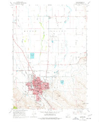
1967 Map of Baker
USGS Topo · Published 1977About this map
The Union Pacific railroad corridor anchors the city of Baker in this late-1960s survey, illustrating a well-developed municipal center serving the agricultural Baker Valley. The town's educational and civic infrastructure is prominently detailed, featuring Baker College, Stack Jr H S, and several neighborhood schools like Brooklyn Sch and North Baker Sch. To the south, the landscape rises toward Mt Hope Cemetery and Coyote Peak, while the northern flats are defined by a complex network of irrigation and drainage including Baldock Slough and Estes Slough. Historical transit roots are visible along Old Settlers Road and the Oregon Trail Monument, marking the intersection of pioneer history and modern development. Industry and recreation are represented by the Baker Municipal Airport, several Gravel Pits, and the Municipal Golf Course, showing the city's role as a regional hub.
Find a feature on this map
49 named features on this map. Tap any name to fly to it.
Don’t see what you’re looking for? This feature index may not catch every label — zoom into the map to look around manually.
Map Details
Editions of this 1967 Baker Map
2 editions found
Other maps of this area

1901 · Baker City
USGS Topo · 1:125,000

1955 · Baker
USGS Topo · 1:250,000

1959 · Baker
USGS Topo · 1:250,000

1967 · Virtue Flat
USGS Topo · 1:24,000

1967 · Encina
USGS Topo · 1:24,000

1967 · Baker
USGS Topo · 1:24,000
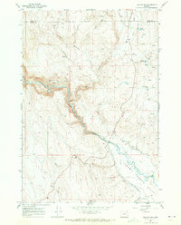
1967 · Keating NW
USGS Topo · 1:24,000
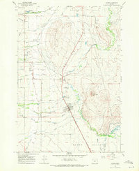
1967 · Haines
USGS Topo · 1:24,000
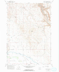
1967 · Magpie Peak
USGS Topo · 1:24,000

1967 · Blue Canyon
USGS Topo · 1:24,000