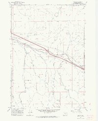
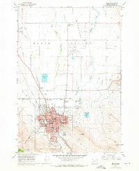
1967 Map of Encina
USGS Topo · Published 1971About this map
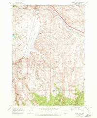
Union Pacific rail lines and a heavy-duty pipeline corridor define the industrial character of this Baker County landscape in the late 1960s. The small settlement of Encina and the nearby Pleasant Valley sit along this transportation spine, which follows the natural passage created by Dry Gulch and Alder Creek. The map reveals a high concentration of extractive industry, from gold-era legacies like the White Swan Mine, Brazos Mine, and Uncle Dan Mine to modern resource management seen in the numerous gravel pits and quarries.
Find a feature on this map
32 named features on this map. Tap any name to fly to it.
Don’t see what you’re looking for? This feature index may not catch every label — zoom into the map to look around manually.
Map Details
Editions of this 1967 Encina Map
4 editions found
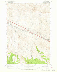
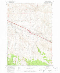
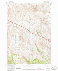
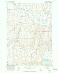
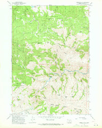
Other maps of this area

1901 · Baker City
USGS Topo · 1:125,000

1955 · Baker
USGS Topo · 1:250,000

1959 · Baker
USGS Topo · 1:250,000

1967 · Virtue Flat
USGS Topo · 1:24,000
1967 · Baker
USGS Topo · 1:24,000
1967 · Keating
USGS Topo · 1:24,000
1967 · French Gulch
USGS Topo · 1:24,000

1967 · Dooley Mtn
USGS Topo · 1:24,000
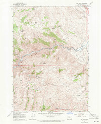
1967 · Lost Basin
USGS Topo · 1:24,000
1967 · Bowen Valley
USGS Topo · 1:24,000