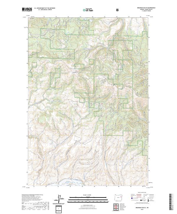
2023 Map of Brannan Gulch
USGS Topo · Published 2023About this map
The Whitman National Forest dominates this section of Baker County, where the topography is defined by high peaks and steep drainages like Brannan Gulch and Spring Gulch. Water management is a critical theme in the landscape, evidenced by the Reeds Ditch and its proximity to the Burnt River in the southern portion of the quadrangle. Historic transportation routes appear throughout the forest, including Railway Rd and Old Trestle Ln, which suggest the area's legacy of timber extraction and mountainous transit. Natural water sources like Bald Mountain Spring and Frog Spring are scattered across the high ground near Bald Mtn, providing vital points for local hydrology in an area marked by rugged ridges and deep hollows like Cougar Hollow.
Find a feature on this map
41 named features on this map. Tap any name to fly to it.
Don’t see what you’re looking for? This feature index may not catch every label — zoom into the map to look around manually.
Map Details
Editions of this 2023 Brannan Gulch Map
This is the sole edition of this map. No revisions or reprints were ever made.
Other maps of this area

1901 · Baker City
USGS Topo · 1:125,000

1901 · Sumpter
USGS Topo · 1:125,000

1908 · Ironside Mountain
USGS Topo · 1:125,000

1955 · Baker
USGS Topo · 1:250,000

1955 · Canyon City
USGS Topo · 1:250,000

1959 · Baker
USGS Topo · 1:250,000

1959 · Canyon City
USGS Topo · 1:250,000

1964 · Ironside
USGS Topo · 1:62,500

1967 · Dooley Mtn
USGS Topo · 1:24,000

1967 · Blue Canyon
USGS Topo · 1:24,000