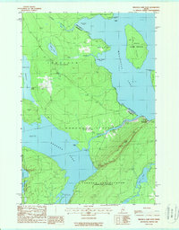
1988 Map of Brassua Lake East
USGS Topo · Published 1988About this map
Rockwood sits at the eastern edge of this Maine wilderness where the waters of Brassua Lake meet Moosehead Lake. The landscape is defined by its significant conservation tracts, including the Tomhegan Game Sanctuary and the State Game Refuge on Farm Island. Waterways dominate the geography, from the complex shoreline of Tomhegan Cove to the southern reach of Long Pond.
Find a feature on this map
31 named features on this map. Tap any name to fly to it.
Don’t see what you’re looking for? This feature index may not catch every label — zoom into the map to look around manually.
Map Details
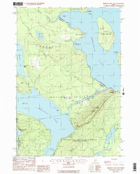
Editions of this 1988 Brassua Lake East Map
2 editions found
Other maps of this area

1920 · Moosehead Lake
USGS Topo · 1:62,500

1921 · Brassua Lake
USGS Topo · 1:62,500

1922 · Moosehead Lake
USGS Topo · 1:62,500

1923 · Brassua Lake
USGS Topo · 1:62,500

1930 · Moosehead Lake
USGS Topo · 1:62,500

1944 · Brassua Lake
USGS Topo · 1:62,500

1944 · Moosehead Lake
USGS Topo · 1:62,500

1954 · Seboomook Lake
USGS Topo · 1:62,500

1954 · North East Carry
USGS Topo · 1:62,500

1954 · Millinocket
USGS Topo · 1:250,000
Featured Places
- Tomhegan Township, ME
- Sandwich Academy Grant Township, ME
- Kineo Township, ME
- Rockwood Strip T1 R1 NBKP, ME
- Taunton & Raynham Academy Grant, ME