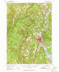
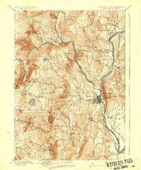
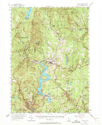
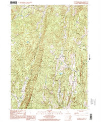
1954 Map of Brattleboro
USGS Topo · Published 1965About this map
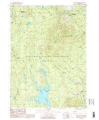
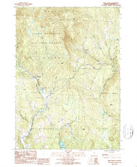
The Connecticut River defines the eastern boundary of this mid-century Vermont landscape, serving as a vital corridor for the Boston and Maine Rr and Central Vermont Ry. The urban center of Brattleboro is depicted with detailed street layouts and significant institutional landmarks like the Austine Sch and the Retreat Meadows. Moving west into the hills of Windham County, the terrain is punctuated by small villages such as Williamsville, South Newfane, and Marlboro, the latter featuring the campus of Marlboro College. The map illustrates a rural economy transitioning through the post-war era, where traditional sites like the West Dummerston Dam and numerous family cemeteries—including the King Cem and Maple Grove Cem—persist alongside newer developments like the Airfield near the river and the growth of Windham College in Putney.
Find a feature on this map
134 named features on this map. Tap any name to fly to it.
Don’t see what you’re looking for? This feature index may not catch every label — zoom into the map to look around manually.
Map Details
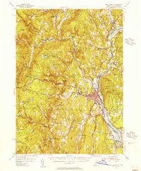
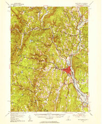
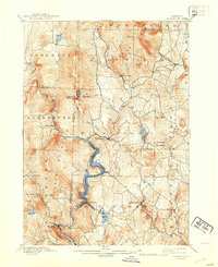
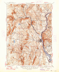
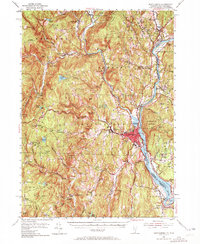
Editions of this 1954 Brattleboro Map
4 editions found
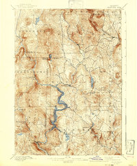
Historical Maps of Brattleboro Through Time
26 maps found
1889 Wilmington
Windham County, VT

1891 Brattleboro
Windham County, VT

1891 Wilmington
Windham County, VT
1893 Brattleboro
Windham County, VT
1899 Wilmington
Windham County, VT

1932 Brattleboro
Windham County, VT
1935 Brattleboro
Windham County, VT

1943 Brattleboro
Windham County, VT
1954 Brattleboro
Windham County, VT
1954 Wilmington
Windham County, VT
1984 Brattleboro
Windham County, VT
1984 Newfane
Windham County, VT
1986 Mount Snow
Windham County, VT
1986 Stratton Mtn
Windham County, VT
1986 West Dover
Windham County, VT
1997 Mount Snow
Windham County, VT
1997 West Dover
Windham County, VT
1997 Westminster West
Windham County, VT
2024 Brattleboro
Windham County, VT
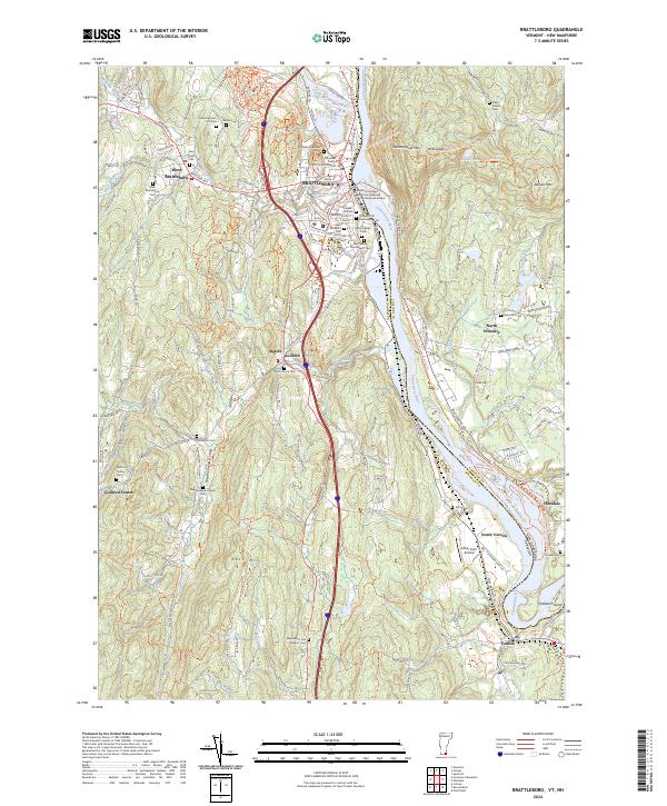
2024 Governors Mountain
Windham County, VT
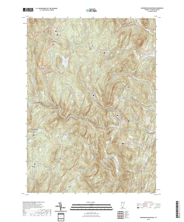
2024 Mount Snow
Windham County, VT
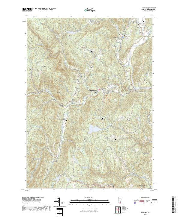
2024 Newfane
Windham County, VT
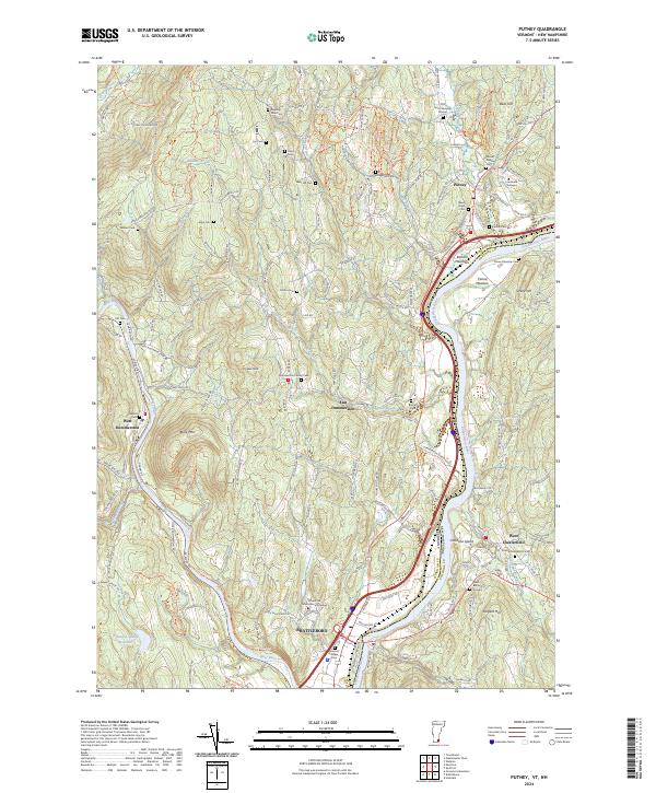
2024 Putney
Windham County, VT
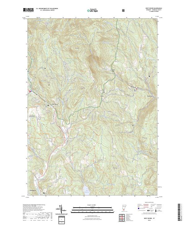
2024 West Dover
Windham County, VT
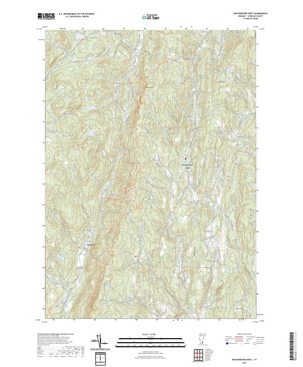
2024 Westminster West
Windham County, VT
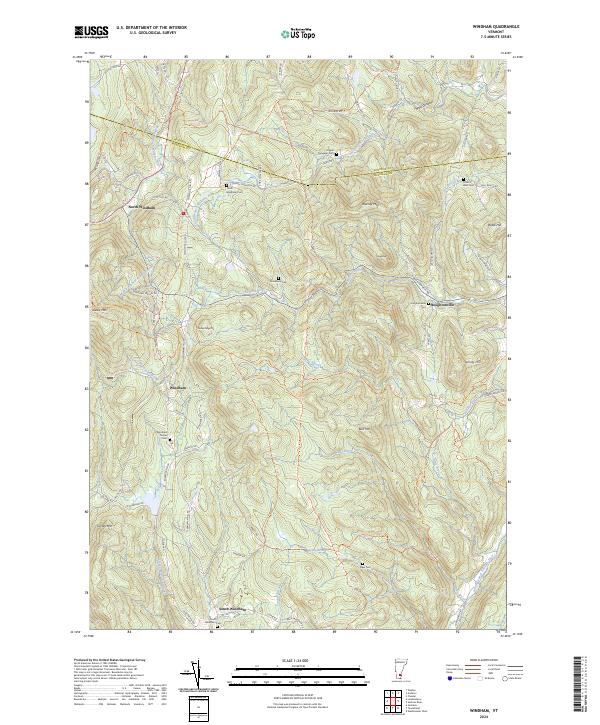
2024 Windham
Windham County, VT