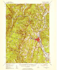
1954 Map of Brattleboro
USGS Topo · Published 1958About this map
Brattleboro serves as the focal point for this mid-century survey of the southeastern corner of Vermont, situated at the confluence of Whetstone Brook and the Connecticut River. The landscape is a dense network of valley settlements and upland family-named hills, where educational institutions like Marlboro College and the unique The Experiment Sch at Putney indicate a specialized local culture. The river corridor is defined by competing transportation lines, with the Boston and Maine RR and the Central Vermont Ry hugging the Vermont and New Hampshire banks. Genealogists will find a wealth of burial grounds, from the Newfane Hill Cem in the northwest to the Old North Burying Ground near the Dummerston line. Small rural schoolhouses, such as the Higley Sch and Weatherhead Hollow Sch, remain plotted across the townships of Guilford and Halifax, documenting the persistent 1950s rural community structure before the consolidation of many local districts.
Find a feature on this map
98 named features on this map. Tap any name to fly to it.
Don’t see what you’re looking for? This feature index may not catch every label — zoom into the map to look around manually.
Map Details
Editions of this 1954 Brattleboro Map
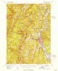
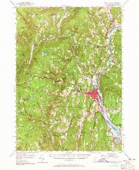
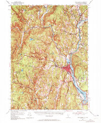
4 editions found
Other maps of this area

1886 · Hawley
USGS Topo · 1:62,500

1887 · Warwick
USGS Topo · 1:62,500

1889 · Warwick
USGS Topo · 1:62,500

1889 · Wilmington
USGS Topo · 1:62,500

1890 · Hawley
USGS Topo · 1:62,500

1890 · Greenfield
USGS Topo · 1:62,500

1891 · Wilmington
USGS Topo · 1:62,500

1891 · Brattleboro
USGS Topo · 1:62,500

1893 · Brattleboro
USGS Topo · 1:62,500

1894 · Greenfield
USGS Topo · 1:62,500