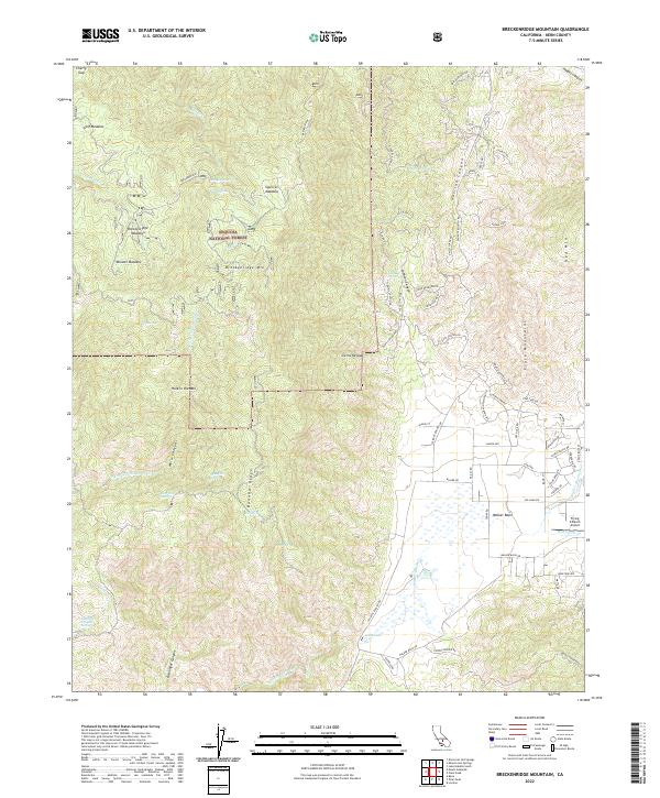
2022 Map of Breckenridge Mountain
USGS Topo · Published 2022About this map
Walker Basin serves as the central focal point of this high-altitude landscape, where the seasonal waters of Walker Basin Cr and Rancheria Cr drain through the valley floor. To the north and west, the terrain rises sharply toward Breckenridge Mtn, a dominant peak within the southern reaches of the Sequoia National Forest. This montane environment is characterized by a series of distinct high meadows, including Breckenridge Meadows, Munzer Meadow, and Squirrel Meadow, which reflect the region's historic use for seasonal grazing.
Find a feature on this map
75 named features on this map. Tap any name to fly to it.
Don’t see what you’re looking for? This feature index may not catch every label — zoom into the map to look around manually.
Map Details
Editions of this 2022 Breckenridge Mountain Map
This is the sole edition of this map. No revisions or reprints were ever made.
Other maps of this area

1906 · Kernville
USGS Topo · 1:125,000

1908 · Kernville
USGS Topo · 1:125,000

1914 · Caliente
USGS Topo · 1:125,000

1915 · Mojave
USGS Topo · 1:125,000

1920 · Delonagha
USGS Topo · 1:62,500

1926 · Glennville
USGS Topo · 1:62,500

1929 · Bena
USGS Topo · 1:31,680

1932 · Bena
USGS Topo · 1:31,680

1936 · Tobias Peak
USGS Topo · 1:125,000

1943 · Emerald Mtn
USGS Topo · 1:62,500