
1973 Map of Bredette
USGS Topo · Published 1976About this map
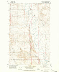
Bredette sits within the Fort Peck Indian Reservation in Northeast Montana, serving as a primary point of interest in this 1970s land survey. The terrain is defined by the winding course of the Poplar River and its confluence with the West Fork Poplar River, which carve through the high plains landscape. Evidence of agricultural and industrial activity is scattered throughout the quadrangle, including numerous Storage Bins, a Radio Tower, and several Gravel Pit excavations.
Find a feature on this map
11 named features on this map. Tap any name to fly to it.
Don’t see what you’re looking for? This feature index may not catch every label — zoom into the map to look around manually.
Map Details
Editions of this 1973 Bredette Map
This is the sole edition of this map. No revisions or reprints were ever made.
Other maps of this area

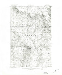
1910 · Cuskers
USGS Topo · 1:62,500
1912 · Hay Creek
USGS Topo · 1:62,500

1915 · Cuskers
USGS Topo · 1:62,500

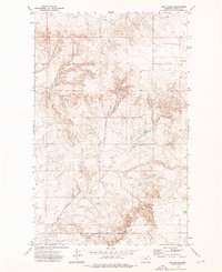
1954 · Wolf Point
USGS Topo · 1:250,000

1958 · Wolf Point
USGS Topo · 1:250,000
1973 · Line Coulee
USGS Topo · 1:24,000
1973 · Pleasant Prairie NW
USGS Topo · 1:24,000

1973 · Nielsen Coulee
USGS Topo · 1:24,000

1973 · Pleasant Prairie SW
USGS Topo · 1:24,000
1973 · Cabarett Coulee
USGS Topo · 1:24,000