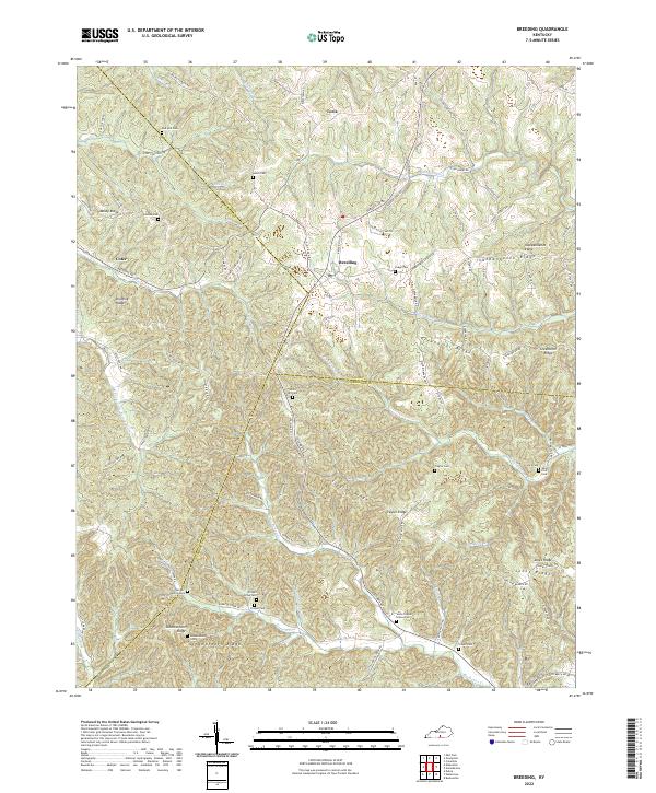
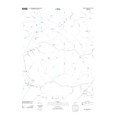
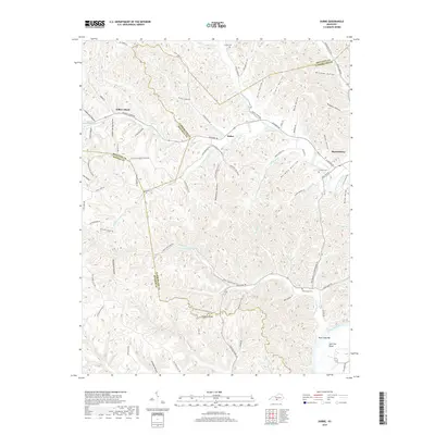
2022 Map of Breeding
USGS Topo · Published 2022About this map
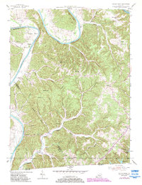
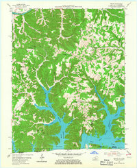
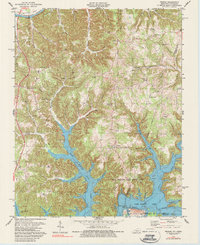
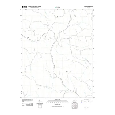
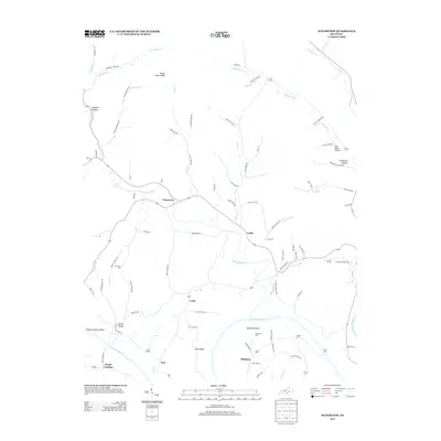
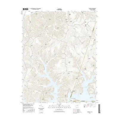
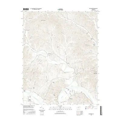
Breeding sits at the intersection of local routes within a landscape defined by sharp ridges and deep creek hollows at the junction of Adair, Metcalfe, and Cumberland counties. The area is marked by a high density of small family burial grounds and community landmarks, such as White Hill Cem and Jones Chapel School Cem, which reflect a long history of rural settlement across Mosby Ridge and Independence Ridge. Drainage patterns are dictated by numerous winding waterways, including Red Lick Cr, Harrods Fork, and the E Fork Little Barren River, which carve through the terrain and separate the small hamlets of Toria and Cofer. The intricate road network, consisting of many named family routes like Felton Fudge Rd and Edro Harvey Rd, connects these isolated homesteads and cemeteries across the high ground of Schemerhorn Ridge and Traylor Ridge.
Find a feature on this map
105 named features on this map. Tap any name to fly to it.
Don’t see what you’re looking for? This feature index may not catch every label — zoom into the map to look around manually.
Map Details
Editions of this 2022 Breeding Map
This is the sole edition of this map. No revisions or reprints were ever made.
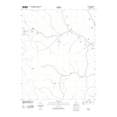
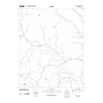
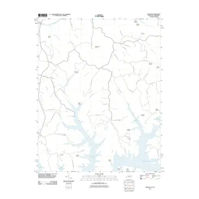
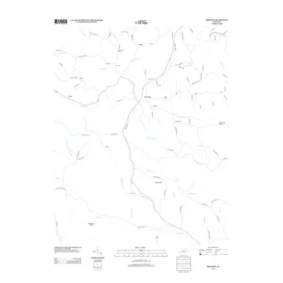
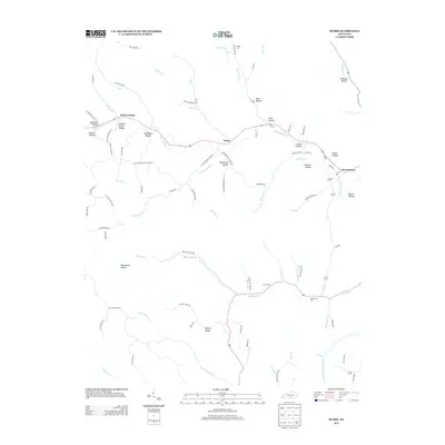
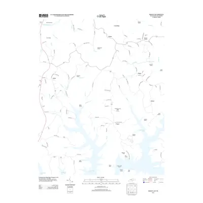
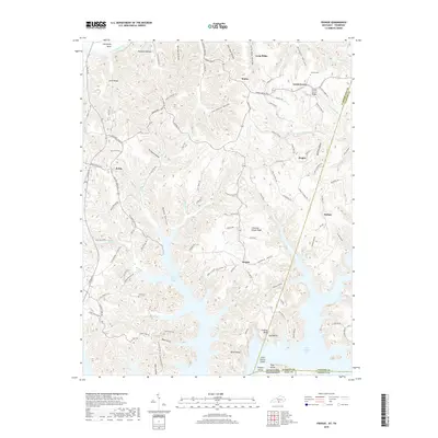
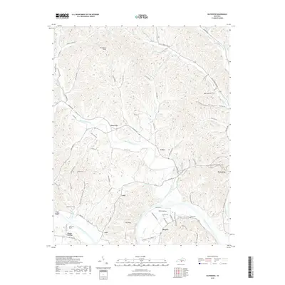
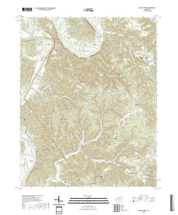
Historical Maps of Cofer Through Time
31 maps found
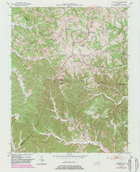
1953 Breeding
Cumberland County, KY
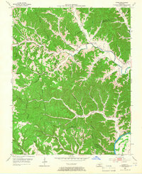
1953 Dubre
Cumberland County, KY
1953 Waterview
Cumberland County, KY
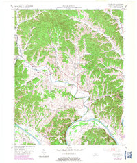
1954 Blacks Ferry
Cumberland County, KY
1954 Frogue
Cumberland County, KY
1978 Frogue
Cumberland County, KY
2010 Blacks Ferry
Cumberland County, KY
2010 Breeding
Cumberland County, KY
2010 Dubre
Cumberland County, KY
2010 Waterview
Cumberland County, KY
2011 Frogue
Cumberland County, KY
2013 Blacks Ferry
Cumberland County, KY
2013 Breeding
Cumberland County, KY
2013 Dubre
Cumberland County, KY
2013 Frogue
Cumberland County, KY
2013 Waterview
Cumberland County, KY
2016 Blacks Ferry
Cumberland County, KY
2016 Breeding
Cumberland County, KY
2016 Dubre
Cumberland County, KY
2016 Frogue
Cumberland County, KY
2016 Waterview
Cumberland County, KY
2019 Blacks Ferry
Cumberland County, KY
2019 Breeding
Cumberland County, KY
2019 Dubre
Cumberland County, KY
2019 Frogue
Cumberland County, KY
2019 Waterview
Cumberland County, KY
2022 Blacks Ferry
Cumberland County, KY
2022 Breeding
Cumberland County, KY
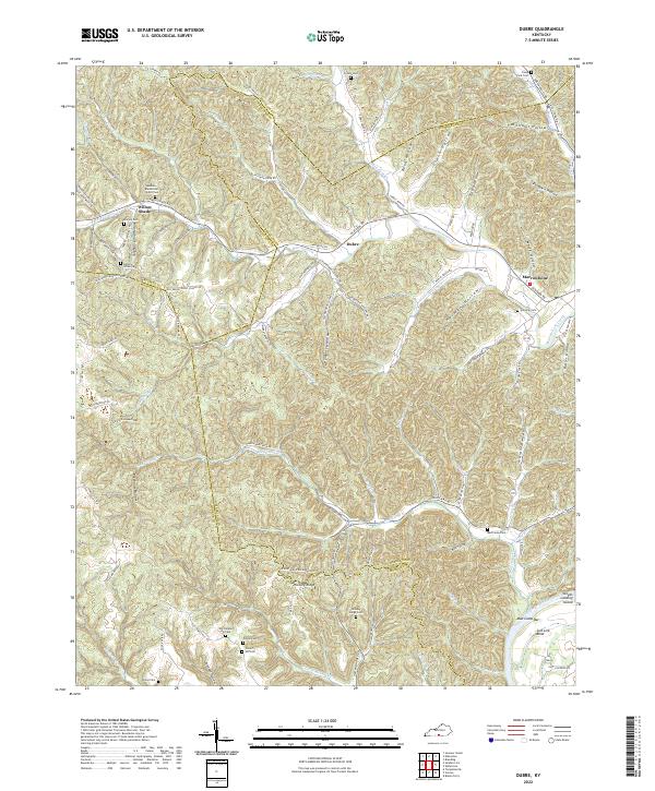
2022 Dubre
Cumberland County, KY
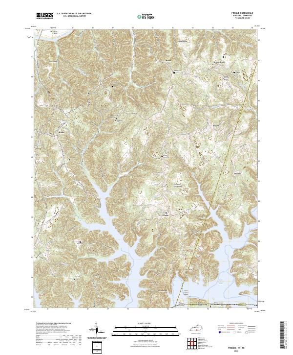
2022 Frogue
Cumberland County, KY
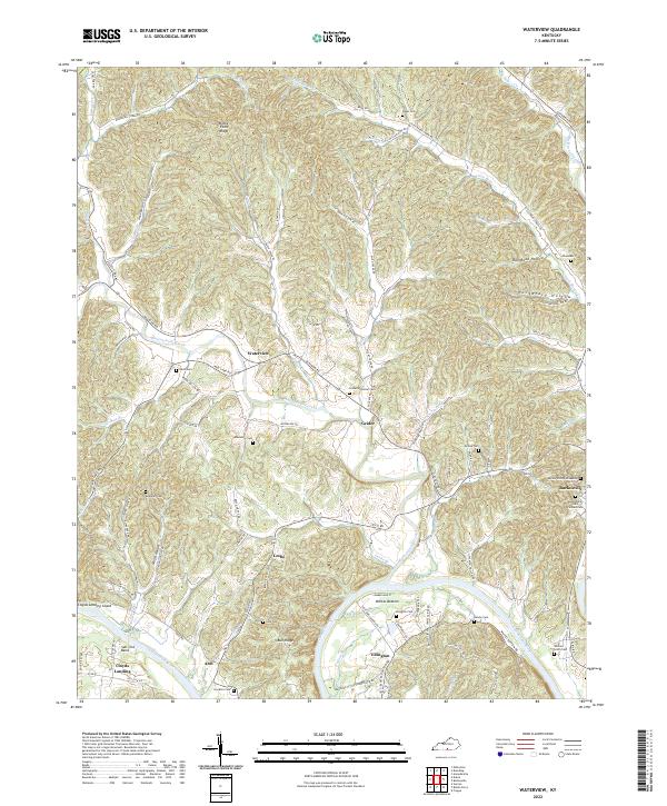
2022 Waterview
Cumberland County, KY