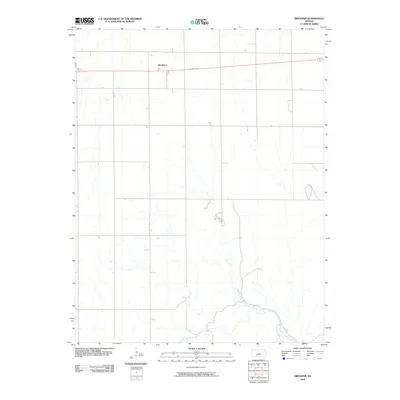
2009 Map of Brenham
USGS Topo · Published 2009About this map
Brenham stands as a primary point of interest in this section of Kiowa County, situated along the path of US Hwy 54. The landscape is defined by the section-line grid typical of the Great Plains, where long stretches of road intersect at right angles across the open terrain. To the southeast, the drainage of Thompson Creek provides a natural contrast to the geometric regularity of the surrounding township roads. This 2009 data reveals a quiet agricultural corridor, where the small settlement of Brenham serves as a localized landmark within the broader expanse of rural Kansas ranching and farming country.
Find a feature on this map
3 named features on this map. Tap any name to fly to it.
Don’t see what you’re looking for? This feature index may not catch every label — zoom into the map to look around manually.
Map Details
Editions of this 2009 Brenham Map
This is the sole edition of this map. No revisions or reprints were ever made.
Other maps of this area

1889 · Kinsley
USGS Topo · 1:125,000

1892 · Kinsley
USGS Topo · 1:125,000

1892 · Coldwater
USGS Topo · 1:125,000

1894 · Kinsley
USGS Topo · 1:125,000

1955 · Pratt
USGS Topo · 1:250,000

1959 · Pratt
USGS Topo · 1:250,000

1968 · Haviland NW
USGS Topo · 1:24,000

1968 · Belvidere
USGS Topo · 1:24,000

1968 · Haviland
USGS Topo · 1:24,000

1968 · Haviland NE
USGS Topo · 1:24,000