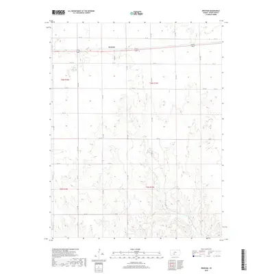
2018 Map of Brenham
USGS Topo · Published 2018About this map
Brenham sits at the northern edge of this high plains landscape, defined by a rigid section-line road grid that characterizes Kiowa County's rural agricultural character. The terrain is notably etched by the winding path of Thompson Cr in the southeastern quadrant, where the otherwise uniform prairie gives way to more varied drainage patterns. This 2018 survey illustrates the persistent geometry of Western settlement, where roads like Kc I St and Kc M St act as both thoroughfares and boundaries across the expansive townships of t28s r18w and t29s r17w. The map preserves the specific locations of rural crossroads and isolated homesteads that remain central to the identity of the Kansas wheat belt.
Find a feature on this map
24 named features on this map. Tap any name to fly to it.
Don’t see what you’re looking for? This feature index may not catch every label — zoom into the map to look around manually.
Map Details
Editions of this 2018 Brenham Map
This is the sole edition of this map. No revisions or reprints were ever made.
Other maps of this area

1889 · Kinsley
USGS Topo · 1:125,000

1892 · Kinsley
USGS Topo · 1:125,000

1892 · Coldwater
USGS Topo · 1:125,000

1894 · Kinsley
USGS Topo · 1:125,000

1955 · Pratt
USGS Topo · 1:250,000

1959 · Pratt
USGS Topo · 1:250,000

1968 · Haviland NW
USGS Topo · 1:24,000

1968 · Belvidere
USGS Topo · 1:24,000

1968 · Haviland
USGS Topo · 1:24,000

1968 · Haviland NE
USGS Topo · 1:24,000