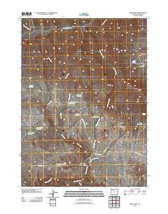
2011 Map of Bretz Mine
USGS Topo · Published 2011About this map
Bretz Mine anchors this high-desert landscape in Malheur County, where a complex network of water management features reveals the necessity of irrigation and livestock watering in a dry environment. The terrain is marked by numerous man-made catchments, including North Cottonwood Reservoir, Pretty Rock Reservoir, and Pinky Reservoir, alongside smaller features like Spring Creek Pit Reservoir. These sites, often positioned at the convergence of seasonal drainages like Indian Creek and Cottonwood Creek, illustrate the practical modifications made to the land to support ranching and resource extraction.
Find a feature on this map
28 named features on this map. Tap any name to fly to it.
Don’t see what you’re looking for? This feature index may not catch every label — zoom into the map to look around manually.
Map Details
Editions of this 2011 Bretz Mine Map
This is the sole edition of this map. No revisions or reprints were ever made.
Other maps of this area

1882 · Paradise
USGS Topo · 1:250,000

1886 · Disaster
USGS Topo · 1:250,000

1893 · Paradise
USGS Topo · 1:250,000

1893 · Disaster
USGS Topo · 1:250,000

1954 · Vya
USGS Topo · 1:250,000

1955 · McDermitt
USGS Topo · 1:250,000

1955 · Jordan Valley
USGS Topo · 1:250,000

1955 · Adel
USGS Topo · 1:250,000

1957 · Adel
USGS Topo · 1:250,000

1957 · Jordan Valley
USGS Topo · 1:250,000