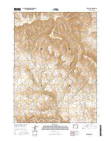
2017 Map of Bretz Mine
USGS Topo · Published 2017About this map
The Oregon Canyon Mountains define this high-desert landscape in Malheur County, where ranching and mining history converge. The presence of the Bretz Mine and its namesake Bretz Reservoir highlights the industrial past of this remote corner of Oregon, while a complex system of water management is evident through numerous cattle-watering features. These include Little Pink Reservoir, Pinky Reservoir, and the Spring Creek Pit Reservoir, all essential for livestock in a region carved by deep drainage features like Moonshine Canyon and Buck Corral Canyon.
Find a feature on this map
38 named features on this map. Tap any name to fly to it.
Don’t see what you’re looking for? This feature index may not catch every label — zoom into the map to look around manually.
Map Details
Editions of this 2017 Bretz Mine Map
This is the sole edition of this map. No revisions or reprints were ever made.
Other maps of this area

1882 · Paradise
USGS Topo · 1:250,000

1886 · Disaster
USGS Topo · 1:250,000

1893 · Paradise
USGS Topo · 1:250,000

1893 · Disaster
USGS Topo · 1:250,000

1954 · Vya
USGS Topo · 1:250,000

1955 · McDermitt
USGS Topo · 1:250,000

1955 · Jordan Valley
USGS Topo · 1:250,000

1955 · Adel
USGS Topo · 1:250,000

1957 · Adel
USGS Topo · 1:250,000

1957 · Jordan Valley
USGS Topo · 1:250,000