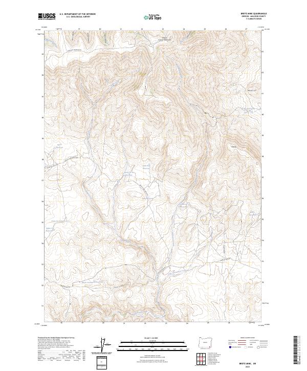
2023 Map of Bretz Mine
USGS Topo · Published 2023About this map
Oregon Canyon Mountains dominate this high-desert landscape in southeastern Oregon, where a sophisticated network of small-scale water management features supports ranching operations. Numerous named catchments, such as Pretty Rock Reservoir and Pinky Reservoir, are situated near the seasonal drainage of Indian Creek. The map documents the presence of family-named infrastructure and access routes, including Archie Myers Ranch Rd and Myers Reservoir, reflecting the historical footprint of livestock production in this arid corner of Malheur County.
Find a feature on this map
35 named features on this map. Tap any name to fly to it.
Don’t see what you’re looking for? This feature index may not catch every label — zoom into the map to look around manually.
Map Details
Editions of this 2023 Bretz Mine Map
This is the sole edition of this map. No revisions or reprints were ever made.
Other maps of this area

1882 · Paradise
USGS Topo · 1:250,000

1886 · Disaster
USGS Topo · 1:250,000

1893 · Paradise
USGS Topo · 1:250,000

1893 · Disaster
USGS Topo · 1:250,000

1954 · Vya
USGS Topo · 1:250,000

1955 · McDermitt
USGS Topo · 1:250,000

1955 · Jordan Valley
USGS Topo · 1:250,000

1955 · Adel
USGS Topo · 1:250,000

1957 · Adel
USGS Topo · 1:250,000

1957 · Jordan Valley
USGS Topo · 1:250,000