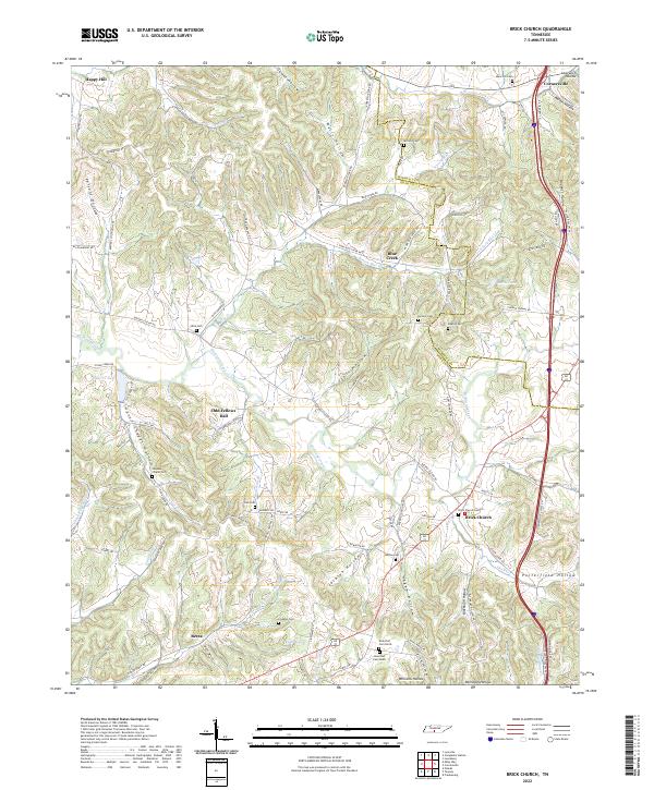
2022 Map of Brick Church
USGS Topo · Published 2022About this map
Richland Creek and its many winding tributaries carve through the borderlands of Giles and Marshall counties in this Tennessee landscape. The area is defined by a dense network of hollows, including Simpson Chapel Hollow and Jackson Hollow, which have historically dictated the placement of small settlements and family holdings. At Brick Church, the presence of the Brick Church Cem near the junction of Buford Station Rd and Hopkins Rd marks a longstanding community hub.
Find a feature on this map
99 named features on this map. Tap any name to fly to it.
Don’t see what you’re looking for? This feature index may not catch every label — zoom into the map to look around manually.
Map Details
Editions of this 2022 Brick Church Map
This is the sole edition of this map. No revisions or reprints were ever made.
Other maps of this area

1936 · Milky Way
USGS Topo · 1:24,000

1936 · Cornersville
USGS Topo · 1:24,000

1936 · Lewisburg
USGS Topo · 1:24,000

1936 · Brick Church
USGS Topo · 1:24,000

1936 · Campbells Station
USGS Topo · 1:24,000

1936 · Pulaski
USGS Topo · 1:24,000

1936 · Tarpley
USGS Topo · 1:24,000

1936 · Frankewing
USGS Topo · 1:24,000

1936 · Lynnville
USGS Topo · 1:24,000

1946 · Brick Church
USGS Topo · 1:24,000