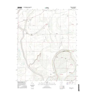
2017 Map of Brickeys
USGS Topo · Published 2017About this map
Saint Francis River winds through the southern reaches of this landscape, defining the border between Arkansas and Mississippi along the Old Walnut Bend. The terrain is deeply intertwined with its hydrography, featuring intricate systems like S Alligator Bayou, Raft Bayou, and Frenchman Bayou that cut through the low-lying Delta lands. Small communities such as Brickeys, Raggio, and Whitehall are connected by a network of state and local roads, including State Hwy 131.
Find a feature on this map
56 named features on this map. Tap any name to fly to it.
Don’t see what you’re looking for? This feature index may not catch every label — zoom into the map to look around manually.
Map Details
Editions of this 2017 Brickeys Map
This is the sole edition of this map. No revisions or reprints were ever made.
Other maps of this area

1931 · Horseshoe Lake
USGS Topo · 1:62,500

1939 · Clayton
USGS Topo · 1:62,500

1939 · Horseshoe Lake
USGS Topo · 1:62,500

1939 · Park Place
USGS Topo · 1:62,500

1939 · Latour
USGS Topo · 1:62,500

1948 · Helena
USGS Topo · 1:250,000

1950 · Helena
USGS Topo · 1:250,000

1954 · Horseshoe Lake
USGS Topo · 1:62,500
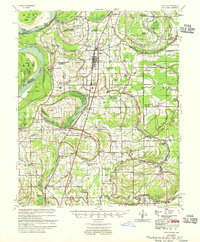
1955 · Clayton
USGS Topo · 1:62,500

1955 · Park Place
USGS Topo · 1:62,500