2022 Map of Bridgeport
USGS Topo · Published 2022About this map
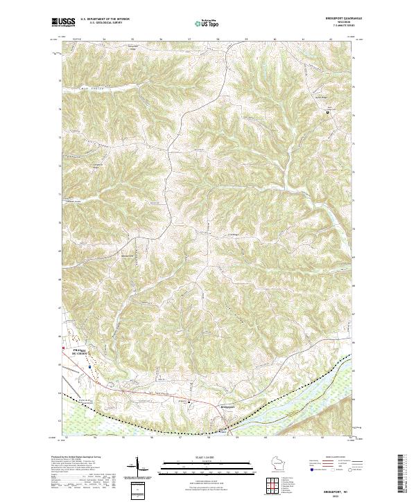
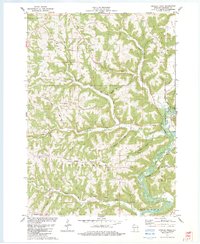
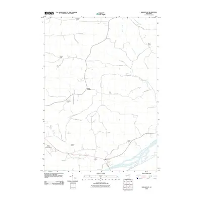
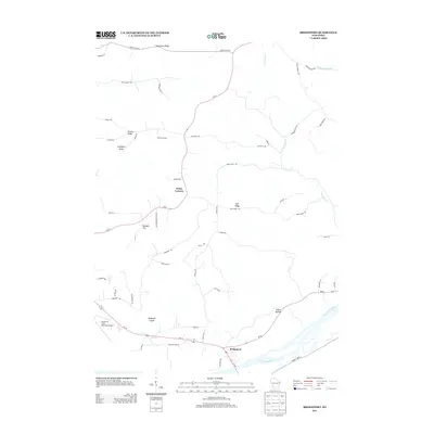
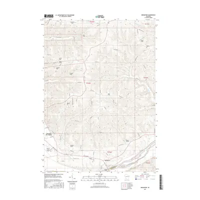
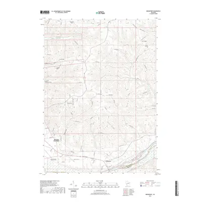
Bridgeport sits at the southern edge of this Crawford County survey, perched just north of the Wisconsin River and its accompanying Weniger Island. The landscape is defined by the sharp contrasts between river lowlands and high limestone formations, including Famechon Ridge, Dutch Ridge, and Limery Ridge. Local genealogy is well-supported by several distinct burial sites across the ridges, specifically the Bridgeport Cem, Dutch Ridge Cem, and Gran Grae Cem. On the western edge, the outskirts of Prairie du Chien appear, featuring the Prairie du Chien Municipal Airport and residential developments along Mondell Hill. The map meticulously tracks the winding paths of rural drainage and transport, from the depths of Mill Coulee and Tucker Hollow to the arterial Great River Rd.
Find a feature on this map
76 named features on this map. Tap any name to fly to it.
Don’t see what you’re looking for? This feature index may not catch every label — zoom into the map to look around manually.
Map Details
Editions of this 2022 Bridgeport Map
This is the sole edition of this map. No revisions or reprints were ever made.
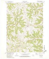
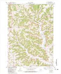
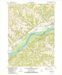
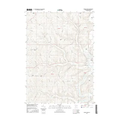
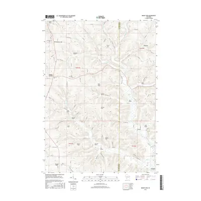
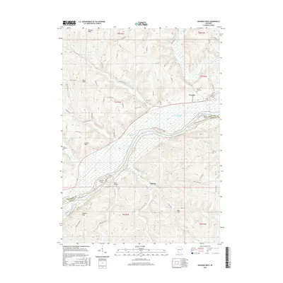
Historical Maps of Prairie du Chien Through Time
28 maps found

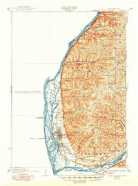
1929 Prairie Du Chien
Crawford County, WI
1932 Prairie Du Chien
Crawford County, WI
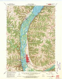
1967 Prairie Du Chien
Crawford County, WI
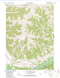
1983 Bridgeport
Crawford County, WI
1983 Crowley Ridge
Crawford County, WI
1983 Mt. Sterling
Crawford County, WI
1983 Mt. Zion
Crawford County, WI
1983 Wauzeka West
Crawford County, WI
2010 Bridgeport
Crawford County, WI
2010 Crowley Ridge
Crawford County, WI
2010 Mount Zion
Crawford County, WI
2010 Wauzeka West
Crawford County, WI
2013 Bridgeport
Crawford County, WI
2013 Crowley Ridge
Crawford County, WI
2013 Mount Zion
Crawford County, WI
2013 Wauzeka West
Crawford County, WI
2015 Bridgeport
Crawford County, WI
2016 Crowley Ridge
Crawford County, WI
2016 Mount Zion
Crawford County, WI
2016 Wauzeka West
Crawford County, WI
2018 Bridgeport
Crawford County, WI
2018 Crowley Ridge
Crawford County, WI
2018 Mount Zion
Crawford County, WI
2018 Wauzeka West
Crawford County, WI
2022 Bridgeport
Crawford County, WI
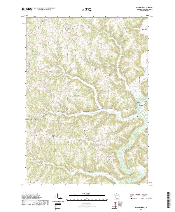
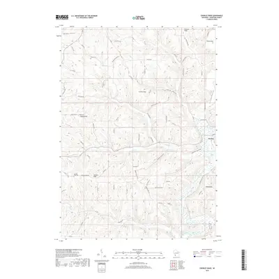
2022 Crowley Ridge
Crawford County, WI
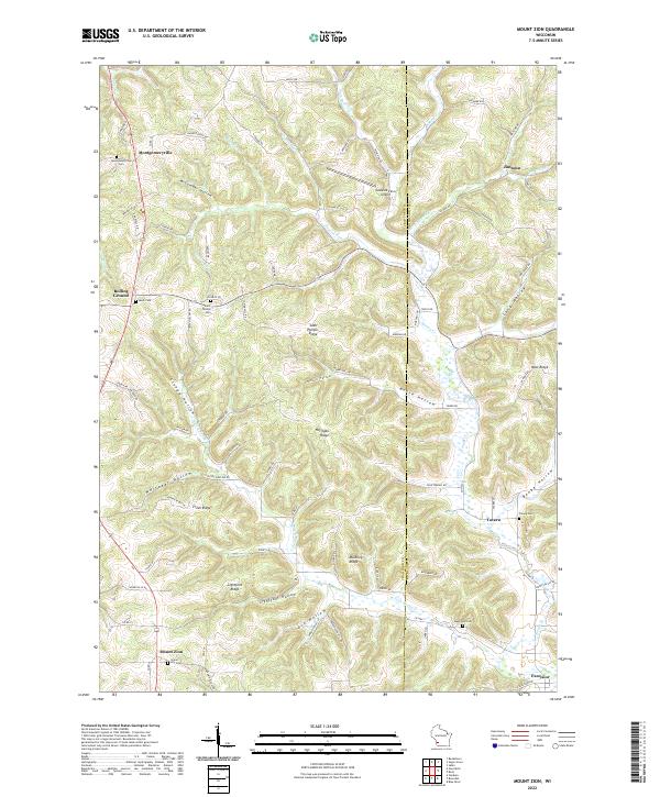
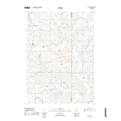
2022 Mount Zion
Crawford County, WI
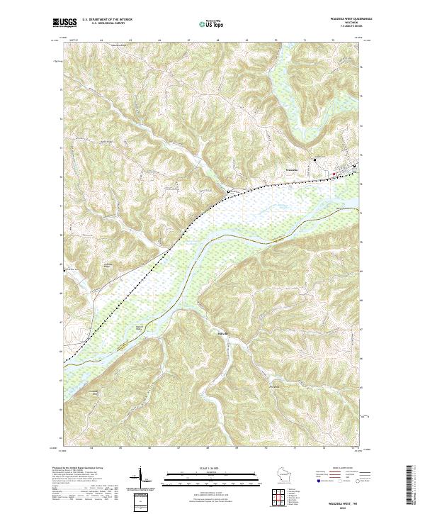
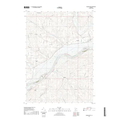
2022 Wauzeka West
Crawford County, WI