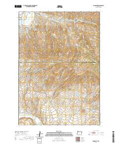
2020 Map of Bridgeport
USGS Topo · Published 2020About this map
Bridgeport and Eldorado anchor this high-desert landscape along the border of Baker and Malheur counties, where a complex network of historic irrigation and mining canals like the Eldorado Ditch and Auburn Ditch crisscross the terrain. These waterworks, along with others such as the Wendt Ditch and Clarks Cr Ditch, illustrate the intensive water management required for early 20th-century life and industry in eastern Oregon.
Find a feature on this map
72 named features on this map. Tap any name to fly to it.
Don’t see what you’re looking for? This feature index may not catch every label — zoom into the map to look around manually.
Map Details
Editions of this 2020 Bridgeport Map
This is the sole edition of this map. No revisions or reprints were ever made.
Other maps of this area

1901 · Baker City
USGS Topo · 1:125,000

1955 · Baker
USGS Topo · 1:250,000

1959 · Baker
USGS Topo · 1:250,000

1964 · Bridgeport
USGS Topo · 1:62,500

1964 · Ironside
USGS Topo · 1:62,500

1967 · French Gulch
USGS Topo · 1:24,000

1967 · Dooley Mtn
USGS Topo · 1:24,000

1967 · Lost Basin
USGS Topo · 1:24,000

1980 · Brogan
USGS Topo · 1:100,000

1981 · Baker
USGS Topo · 1:100,000