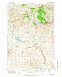
1964 Map of Bridgeport
USGS Topo · Published 1966About this map
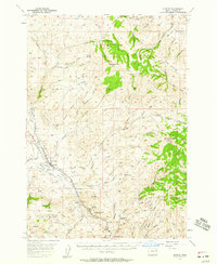
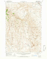
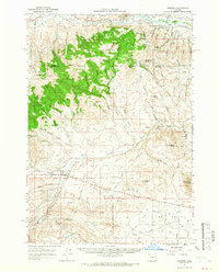
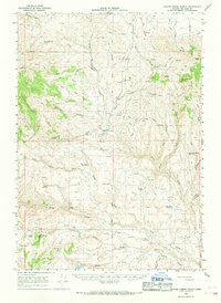
Gold mining legacies and remote settlements define this high-desert landscape on the border of Baker and Malheur counties. Along the Burnt River and Clarks Creek, extensive Dredge Tailings mark the industrial history of Bridgeport and China Town. The map reveals a dense concentration of mining operations near Pedro Mountain and California Mountain, including the Humboldt Mine, Summit Mine, and the Monohon Tunnel. These operations were supported by a network of vanished camps and towns like Clarksville and Malheur City, the latter of which features a local Cem. In the southern reaches, the Malheur Reservoir sits below Reservoir Butte, while the broad expanse of Cow Valley provides a stark contrast to the mine-pockmarked peaks to the north. Numerous springs, such as Rooster Comb Spring and Thompson Spring, are critical landmarks in this arid terrain, connected by a network of primitive roads and jeep trails.
Find a feature on this map
61 named features on this map. Tap any name to fly to it.
Don’t see what you’re looking for? This feature index may not catch every label — zoom into the map to look around manually.
Map Details
Editions of this 1964 Bridgeport Map
2 editions found
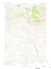
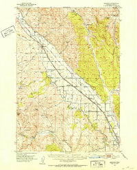
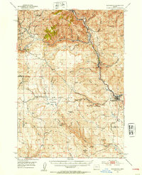
Other maps of this area

1901 · Baker City
USGS Topo · 1:125,000

1915 · Pine
USGS Topo · 1:125,000
1950 · Jamieson
USGS Topo · 1:62,500
1951 · Huntington
USGS Topo · 1:62,500

1955 · Baker
USGS Topo · 1:250,000
1957 · Durkee
USGS Topo · 1:62,500

1959 · Baker
USGS Topo · 1:250,000
1964 · Brogan
USGS Topo · 1:62,500
1964 · Ironside
USGS Topo · 1:62,500
1966 · Clover Creek Ranch
USGS Topo · 1:62,500