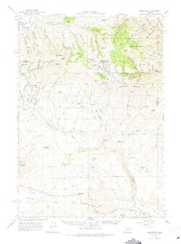
1964 Map of Bridgeport
USGS Topo · Published 1975About this map
The gold mining heritage of the Mormon Basin and the Burnt River valley is clearly visible in this mid-1960s topographic record. High-altitude mining sites including the Humboldt Mine and Rainbow Mine sit nestled near California Mountain, while the valley floors are marked by extensive dredge tailings along the Burnt River. Local history is preserved through labels for the early settlements of Malheur City, Clarksville, and Eldorado, alongside the smaller communities of China Town and Amelia. The terrain transitions from the high peaks of Pedro Mountain down to the arid stretches of Cow Valley and the Malheur Reservoir, which was recorded at its 1960 elevation. This map documents a landscape defined by its mineral wealth, from the Monohon Tunnel to the various gulches named after early settlers like George Henry Gulch and August Meyer Gulch.
Find a feature on this map
96 named features on this map. Tap any name to fly to it.
Don’t see what you’re looking for? This feature index may not catch every label — zoom into the map to look around manually.
Map Details
Editions of this 1964 Bridgeport Map
2 editions found
Other maps of this area

1901 · Baker City
USGS Topo · 1:125,000

1915 · Pine
USGS Topo · 1:125,000

1950 · Jamieson
USGS Topo · 1:62,500

1951 · Huntington
USGS Topo · 1:62,500

1955 · Baker
USGS Topo · 1:250,000

1957 · Durkee
USGS Topo · 1:62,500

1959 · Baker
USGS Topo · 1:250,000

1964 · Bridgeport
USGS Topo · 1:62,500

1964 · Brogan
USGS Topo · 1:62,500

1964 · Ironside
USGS Topo · 1:62,500