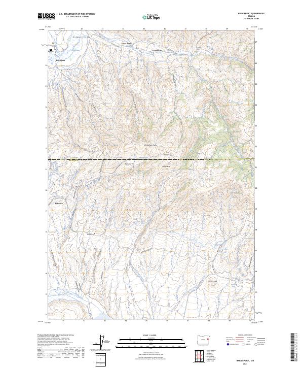
2023 Map of Bridgeport
USGS Topo · Published 2023About this map
The Bridgeport Valley anchors this corner of the High Desert, where the Burnt River winds through a landscape marked by a complex legacy of early hydraulic engineering. Extensive water systems like the Eldorado Ditch, Wendt Ditch, and Lynns Ditch cut across the contours of the terrain, reflecting the area's intensive mining and irrigation history. These man-made channels contrast with the natural drainage of numerous gulches, such as Freeze Out Gulch and Poison Root Gulch, which flow from high points like Bill Neighbor Peak and Shasta Butte.
Find a feature on this map
67 named features on this map. Tap any name to fly to it.
Don’t see what you’re looking for? This feature index may not catch every label — zoom into the map to look around manually.
Map Details
Editions of this 2023 Bridgeport Map
This is the sole edition of this map. No revisions or reprints were ever made.
Other maps of this area

1901 · Baker City
USGS Topo · 1:125,000

1955 · Baker
USGS Topo · 1:250,000

1959 · Baker
USGS Topo · 1:250,000

1964 · Bridgeport
USGS Topo · 1:62,500

1964 · Ironside
USGS Topo · 1:62,500

1967 · French Gulch
USGS Topo · 1:24,000

1967 · Dooley Mtn
USGS Topo · 1:24,000

1967 · Lost Basin
USGS Topo · 1:24,000

1980 · Brogan
USGS Topo · 1:100,000

1981 · Baker
USGS Topo · 1:100,000