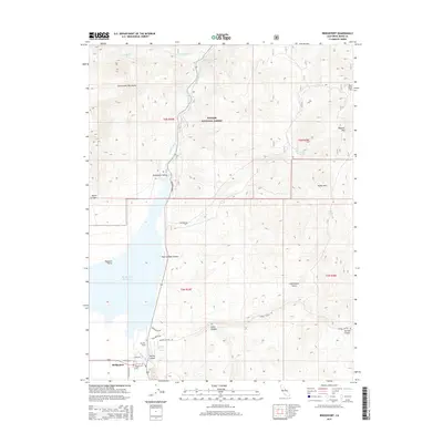
2015 Map of Bridgeport
USGS Topo · Published 2015About this map
Bridgeport Reservoir dominates the lowlands of this Mono County landscape, collecting the waters of the East Walker River before they flow north through the Bridgeport Valley. The settlement of Bridgeport sits at the southwestern edge of the valley, defined by a grid of streets including Emigrant St and Kingsley St, alongside the regional aviation hub at Bryant Field. This area represents a critical intersection of high-altitude ranching and water management in the eastern Sierra.
Find a feature on this map
34 named features on this map. Tap any name to fly to it.
Don’t see what you’re looking for? This feature index may not catch every label — zoom into the map to look around manually.
Map Details
Editions of this 2015 Bridgeport Map
This is the sole edition of this map. No revisions or reprints were ever made.
Other maps of this area

1909 · Bridgeport
USGS Topo · 1:125,000

1911 · Bridgeport
USGS Topo · 1:125,000

1920 · Bridgeport
USGS Topo · 1:125,000

1948 · Walker Lake
USGS Topo · 1:250,000

1956 · Fales Hot Springs
USGS Topo · 1:62,500

1956 · Matterhorn Peak
USGS Topo · 1:62,500

1957 · Walker Lake
USGS Topo · 1:250,000

1958 · Bodie
USGS Topo · 1:62,500
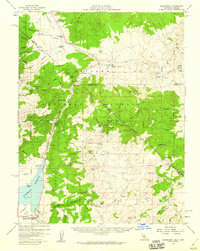
1958 · Bridgeport
USGS Topo · 1:62,500

1962 · Walker Lake
USGS Topo · 1:250,000