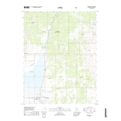
2018 Map of Bridgeport
USGS Topo · Published 2018About this map
Bridgeport serves as the focal point of this Eastern Sierra landscape, situated at the southern end of the fertile Bridgeport Valley. The settlement is closely tied to the waters of the Bridgeport Reservoir and the East Walker River, which flows northward through the Toiyabe National Forest. The map documents a transition from the valley floor to the high elevations of the Sweetwater Mountains and the Bodie Hills.
Find a feature on this map
39 named features on this map. Tap any name to fly to it.
Don’t see what you’re looking for? This feature index may not catch every label — zoom into the map to look around manually.
Map Details
Editions of this 2018 Bridgeport Map
This is the sole edition of this map. No revisions or reprints were ever made.
Other maps of this area

1909 · Bridgeport
USGS Topo · 1:125,000

1911 · Bridgeport
USGS Topo · 1:125,000

1920 · Bridgeport
USGS Topo · 1:125,000

1948 · Walker Lake
USGS Topo · 1:250,000

1956 · Fales Hot Springs
USGS Topo · 1:62,500

1956 · Matterhorn Peak
USGS Topo · 1:62,500

1957 · Walker Lake
USGS Topo · 1:250,000

1958 · Bodie
USGS Topo · 1:62,500
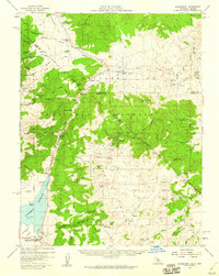
1958 · Bridgeport
USGS Topo · 1:62,500

1962 · Walker Lake
USGS Topo · 1:250,000