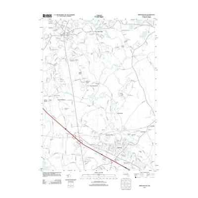
2012 Map of Bridgewater
USGS Topo · Published 2012About this map
The Taunton River and its numerous tributaries, including Beaver Brook and Sawmill Brook, define the landscape of this region during the early 21st century. The map centers on the institutional and academic presence of Bridgewater State College and the Massachusetts Correctional Institution, which occupy significant acreage in the north. Settlement patterns show the growth of Middleboro and South Bridgewater alongside older communities like Paper Mill Village and Namasket Village.
Find a feature on this map
220 named features on this map. Tap any name to fly to it.
Don’t see what you’re looking for? This feature index may not catch every label — zoom into the map to look around manually.
Map Details
Editions of this 2012 Bridgewater Map
This is the sole edition of this map. No revisions or reprints were ever made.
Other maps of this area

1885 · Abington
USGS Topo · 1:62,500

1885 · Middleboro
USGS Topo · 1:62,500

1885 · Taunton
USGS Topo · 1:62,500

1886 · Dedham
USGS Topo · 1:62,500

1888 · Taunton
USGS Topo · 1:62,500

1888 · Middleboro
USGS Topo · 1:62,500

1888 · Abington
USGS Topo · 1:62,500

1893 · Abington
USGS Topo · 1:62,500

1893 · Taunton
USGS Topo · 1:62,500

1893 · Middleboro
USGS Topo · 1:62,500