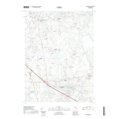
2018 Map of Bridgewater
USGS Topo · Published 2018About this map
Bridgewater and Middleborough Center anchor this detailed landscape where the Taunton River and Nemasket River converge. The area is dense with legacy sites, including Bridgewater State College and a high concentration of burial grounds such as the Smallpox Cem and the Old Saint Thomas Aquinas Cem. These cemeteries, along with Paper Mill Village and Camp Titicut, reflect the long-standing industrial and institutional character of these Plymouth County towns.
Find a feature on this map
194 named features on this map. Tap any name to fly to it.
Don’t see what you’re looking for? This feature index may not catch every label — zoom into the map to look around manually.
Map Details
Editions of this 2018 Bridgewater Map
This is the sole edition of this map. No revisions or reprints were ever made.
Other maps of this area

1885 · Abington
USGS Topo · 1:62,500

1885 · Middleboro
USGS Topo · 1:62,500

1885 · Taunton
USGS Topo · 1:62,500

1886 · Dedham
USGS Topo · 1:62,500

1888 · Taunton
USGS Topo · 1:62,500

1888 · Middleboro
USGS Topo · 1:62,500

1888 · Abington
USGS Topo · 1:62,500

1893 · Abington
USGS Topo · 1:62,500

1893 · Taunton
USGS Topo · 1:62,500

1893 · Middleboro
USGS Topo · 1:62,500